Public domain
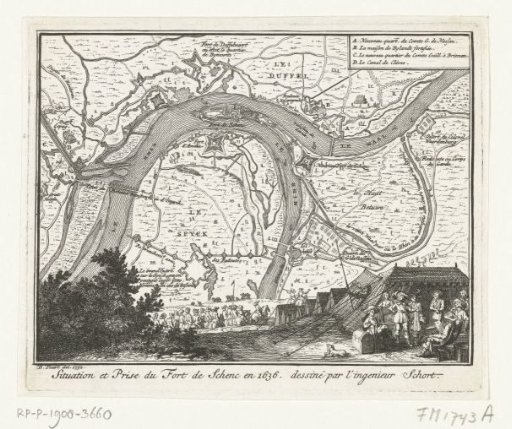
Map of the siege of Schenckenschans, 1636
From the collection of Rijksmuseum, Amsterdam. Free to download, adapt and use — no permission needed.
About this work
Map of the siege and capture of Schenckenschans in the Rhine by the States army under Frederick Henry, 30 July 1635 - 29 April 1636. In the foreground military deliberations in the tent of Frederick Henry. In the upper right the legend A-D in French. This plate together with another plate printed on one page.
Rijksmuseum, Amsterdam’s own descriptionCredit lineKaart van het beleg van Schenckenschans, 1636. 1732 - 1733. Bernard Picart. Rijksmuseum, Amsterdam. Public domain.
Similar works
 Map of the siege of Schenckenschans, 1636
 Map with the siege and capture of Schenkenschans by Frederick Henry, 1635-1636
 Fortifications at Bergen op Zoom and Steenbergen and along the Scheldt, ca. 1622
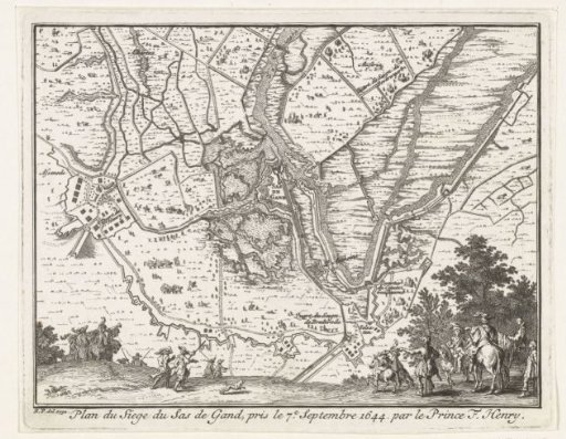 Map of the siege of Sas-van-Gent by Frederick Henry, 1629
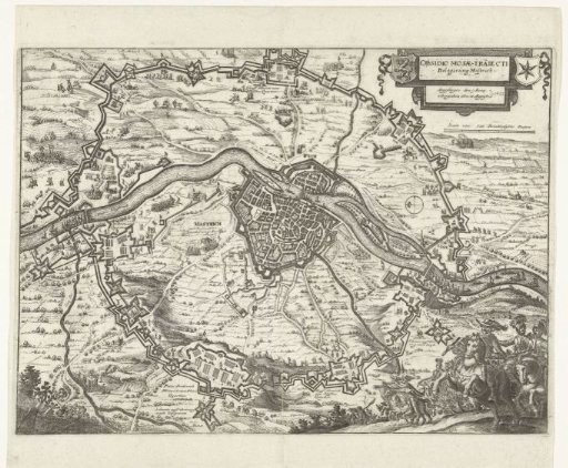 Siege of Maastricht, 1632
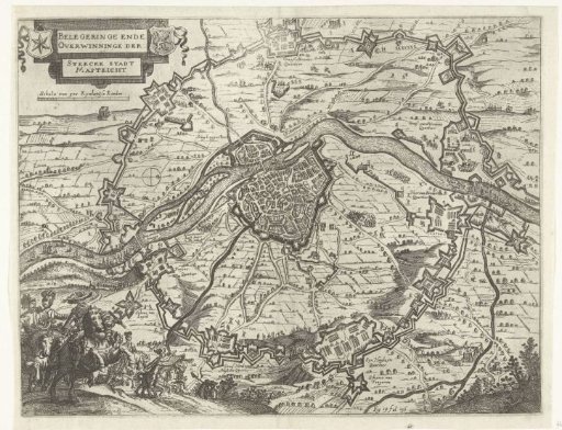 Siege of Maastricht, 1632