Public domain
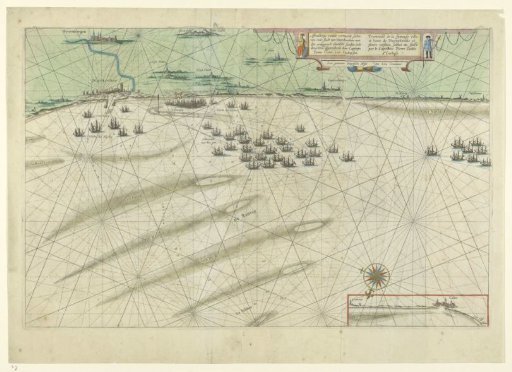
Map of the Flemish coast between Dunkirk and Grevelingen
From the collection of Rijksmuseum, Amsterdam. Free to download, adapt and use — no permission needed.
About this work
Map of the sandbanks off the Flemish coast between Dunkirk and Grevelingen. Sandbanks indicated in the sea and various fleets (Wacht des Nachts, Admiraal met het gros). Insert with a small map of the coast near Calais in the lower right. Cartouche with titles flanked by two allegorical figures, scale in German miles just below. Back printed with text in Dutch 'Vlaems-Vlaenderen', p. 27.
Rijksmuseum, Amsterdam’s own descriptionCredit lineKaart van de Vlaamse kust tussen Duinkerke en Grevelingen. 1634. Pieter Codde van Enchuysen. Rijksmuseum, Amsterdam. Public domain.
Similar works
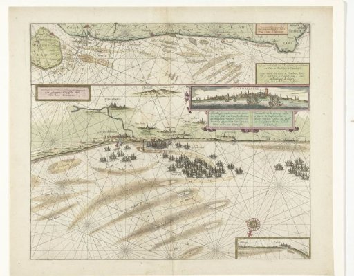 Map of the coast near Dunkirk and of the Flemish coast from Walcheren to Boulogne, 1631
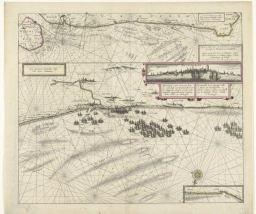 Map of the coast near Dunkirk and of the Flemish coast from Walcheren to Boulogne, 1631
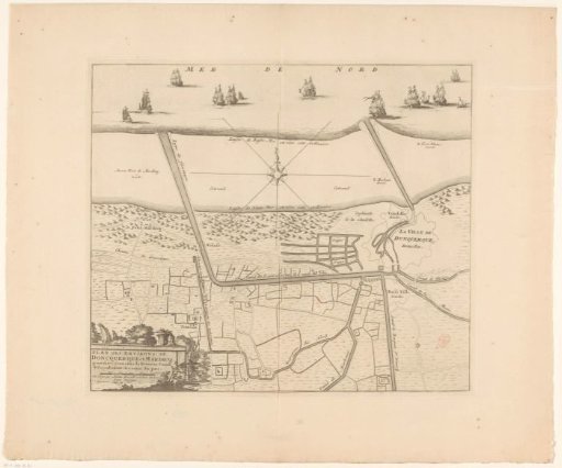 Map of the Canals of Dunkirk
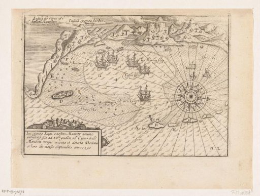 Map of the roadstead of Mauritius, 1598
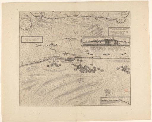 Sea chart of the coast of Flanders, from Walcheren to Calais
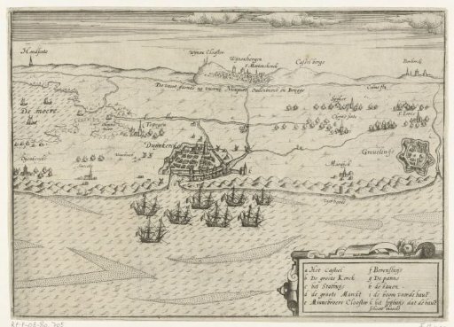 Dutch ships at anchor off Dunkirk, ca. 1605