Public domain
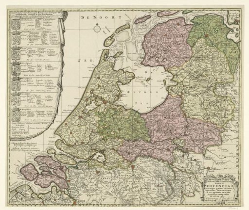
Map of the Republic of the Seven United Netherlands
From the collection of Rijksmuseum, Amsterdam. Free to download, adapt and use — no permission needed.
About this work
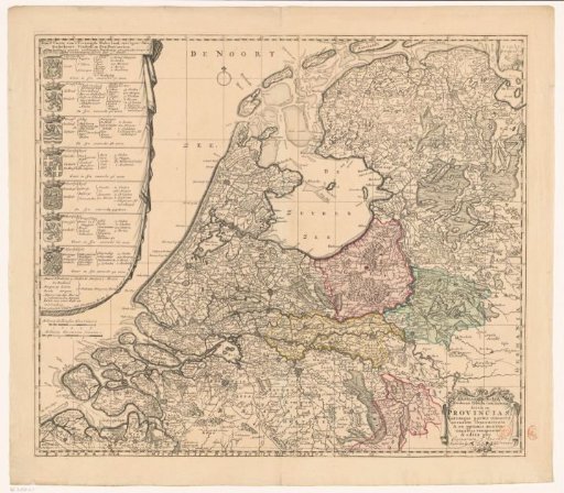
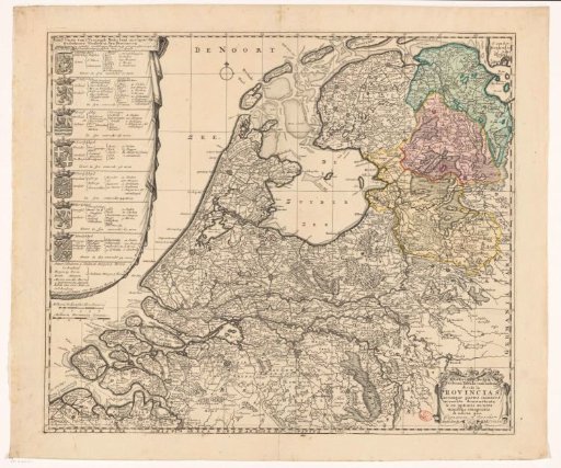
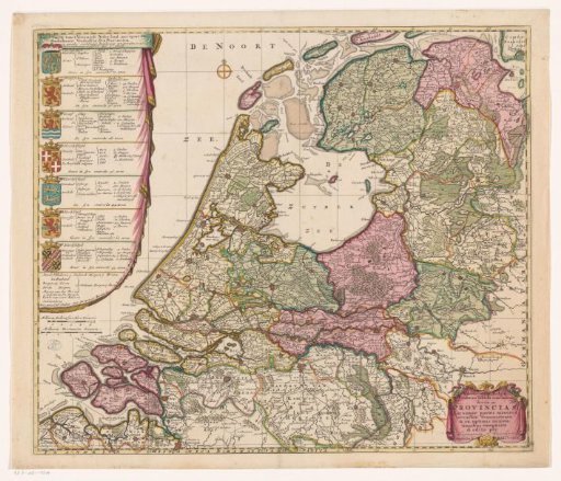
Land map of the Republic with on the left the coats of arms of the seven provinces, each subdivided into regions, with numbers of cities, villages, flecken, heerlanden, ridderhofsteden, forts, academies and colleges of the Admiralty. Flanders is added to the description, but without a coat of arms. In the bottom right corner a cartouche with the title in Latin. The seven provinces are coloured differently, other areas are left uncoloured.
Rijksmuseum, Amsterdam’s own descriptionCredit lineKaart van de Republiek der Zeven Verenigde Nederlanden. 1702. Caspar Specht. Rijksmuseum, Amsterdam. Public domain.
Similar works
 Map of the Republic of the Seven United Netherlands
 Map of the Republic of the Seven United Netherlands
 Map of the Republic of the Seven United Netherlands
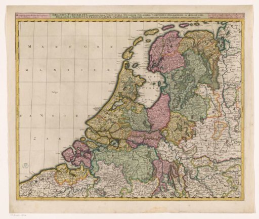 Map of the Republic of the Seven United Netherlands
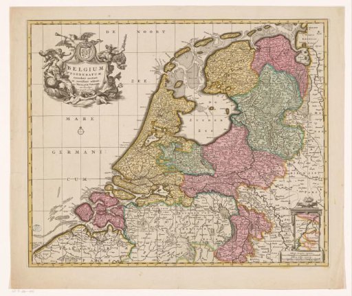 Map of the Republic of the Seven United Netherlands
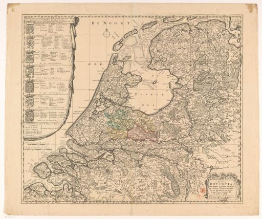 Map of the Republic of the Seven United Netherlands