Public domain
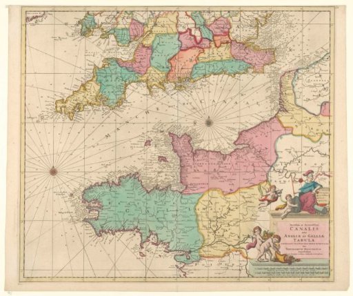
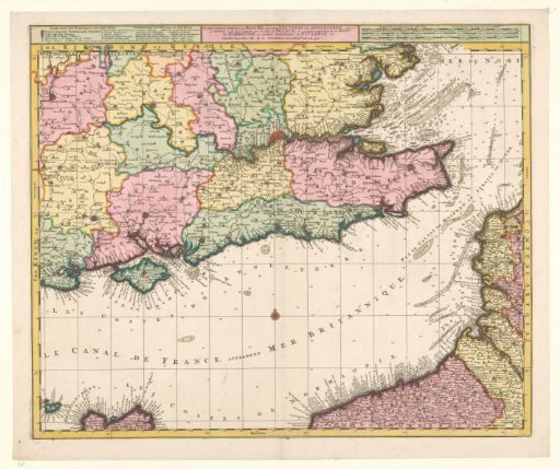
Map of the Channel and the coasts of southern England and northwestern France
From the collection of Rijksmuseum, Amsterdam. Free to download, adapt and use — no permission needed.
About this work
Legend to the left of the title, scale in French, German and Spanish miles to the right. The chart itself is yellow-bordered, wind rose in the middle, areas differently colored. Inscription; top center: LA PLUS GRANDE PARTIE de la MANCHE, qui contient LES COTES DE ANGLETERRE (situées au SUD0EST, ou est LATAMISE &c.) et celles de FRANCE, ou la partie Septentrionale du GOUVr DE NORMANDIE, les BORDS MARITIMES de PICARDIE &c. Signed; top center: Chez R. & J. Ottens.
Rijksmuseum, Amsterdam’s own descriptionCredit lineKaart van het Kanaal en de kusten van Zuid Engeland en Noordwest Frankrijk. 1700 - 1750. Reinier Ottens (I). Rijksmuseum, Amsterdam. Public domain.