Public domain
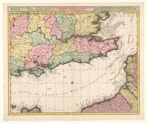
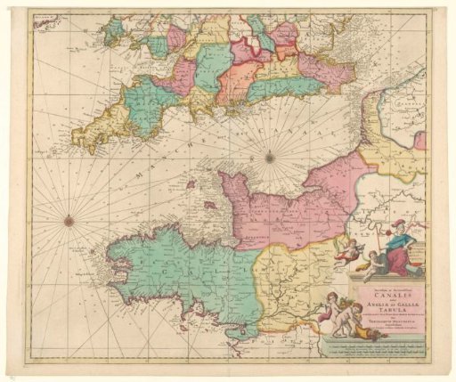
Sea chart of the Channel
From the collection of Rijksmuseum, Amsterdam. Free to download, adapt and use — no permission needed.
About this work
Sea chart of the Channel, with a large part of the surrounding countries England and France. On the sea two compass roses and indications of various naval battles 1666, 1690 and 1692. Bottom right a cartouche with the Latin title, on which sits the British maiden with two putti. Further down two other putti with horns of plenty. Below two scale bars in German and French miles.
Rijksmuseum, Amsterdam’s own descriptionCredit lineZeekaart van het Kanaal. 1696 - 1699. Theodorus Danckerts (I). Rijksmuseum, Amsterdam. Public domain.