Public domain
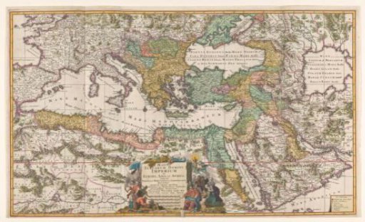
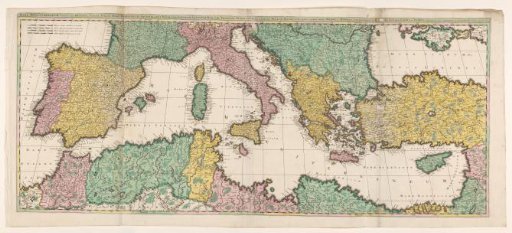
Map of the Mediterranean Region
From the collection of Rijksmuseum, Amsterdam. Free to download, adapt and use — no permission needed.
About this work
Map of the Mediterranean region, countries colored. Bottom left scale in German, French, Italian and Spanish miles. Trees and mountains drawn in. Inscription; top right: MARE MEDITERRANEUM, exhibens oras HISPANIAE, GALLIAE, ITALIAE, MARE HADRIATICUM, ..... etc. Signed; top right: Venundantur per GERARDUM et LEONARDUM VALK cum Privilegio.
Rijksmuseum, Amsterdam’s own descriptionSubjects
Credit lineKaart van het Middellandse Zeegebied. 1670 - 1726. Gerard Valck. Rijksmuseum, Amsterdam. Public domain.