Public domain
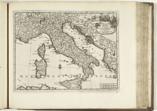
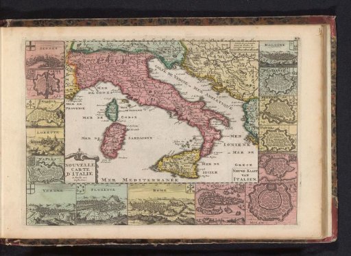
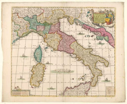
Map of Italy
From the collection of Rijksmuseum, Amsterdam. Free to download, adapt and use — no permission needed.
About this work
Map of Italy, yellow border, areas colored. R.b. at inscription 2 putti and allegorical princess, r.o. legend, l.o. scale in German, French and Italian or English miles, thereon putti with cartographic instruments. Mountains drawn in and ships at sea. Three compass roses, l.o., m.o. and r.m. (1:2.5 million). Inscription; r.b.: Novissima et accuratissima / totius / ITALIAE, / CORSICAE et SARDINIAE. Signed; r.b.: Per F. DE WITT. Amstelodami.
Rijksmuseum, Amsterdam’s own descriptionCredit lineKaart van Italië. 1650 - 1700. Frederik de Wit. Rijksmuseum, Amsterdam. Public domain.