Public domain
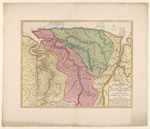
Map of Suriname
From the collection of Rijksmuseum, Amsterdam. Free to download, adapt and use — no permission needed.
About this work
Map of Suriname, yellow-bordered, areas colored. Mountains, vegetation, and buildings, fortifications drawn in. At the top right, the compass rose, with scale in German miles and Urengan. Mainly shows the area east of Paramaribo, the northeastern part of present-day Suriname.
Rijksmuseum, Amsterdam’s own descriptionCredit lineKaart van Suriname. 1713 - before 1718. Joachim Ottens. Rijksmuseum, Amsterdam. Public domain.