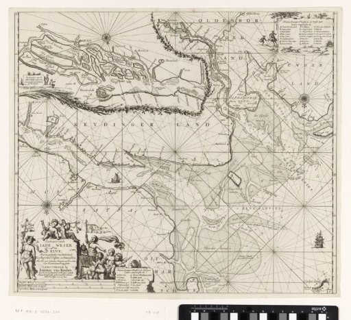
Chart of a part of the Elbe, the Weser and the Jade Bight
From the collection of Rijksmuseum, Amsterdam. Free to download, adapt and use — no permission needed.
Chart of a part of the river Elbe (from the city of Stade to its mouth in the North Sea), the Weser (from the city of Bremen to its mouth in the North Sea), and the Jade Bight, with three compass roses, North at the bottom. A detail map of the Elbe near Hamburg and surroundings in the upper left. A cartouche in the lower left with the title, publisher's address, and a list of markings and shoals in the river Elbe. These details are decorated with many putti, one painting, another waving a flag, and another playing a trumpet. A list of shoals and markings in the river Weser in the upper right, framed by a hare hunt. The scale in German, Spanish, and English or French miles in the lower left.
Rijksmuseum, Amsterdam’s own description