Public domain
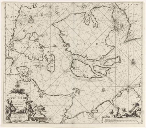
Chart of the Danish Islands, with a part of the coast of Sweden and Germany
From the collection of Rijksmuseum, Amsterdam. Free to download, adapt and use — no permission needed.
About this work
Chart of the Danish Islands, with a part of the coast of Sweden and Germany, with two compass roses, North at the top. A cartouche in the lower left with the title and publisher's address, where two hunters sit. One hunter watches his companion and some dogs hunt a wild boar. A fourth hunter with his three dogs lies on the scale in the lower right, represented in German, Spanish, and English or French miles.
Rijksmuseum, Amsterdam’s own descriptionCredit linePaskaart van de Deense Eilanden, met een deel van de kust van Zweden en Duitsland. 1681 - 1799. Jan Luyken. Rijksmuseum, Amsterdam. Public domain.
Similar works
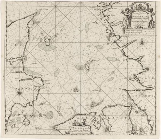 Chart of Denmark with the Skagerrak and the Kattegat
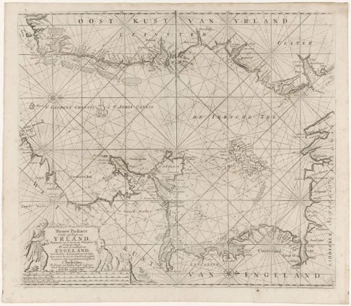 Chart of part of the Irish Sea and the St. George's Channel
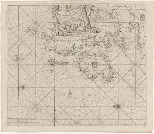 Chart of the coasts of Ireland, Scotland, England and France
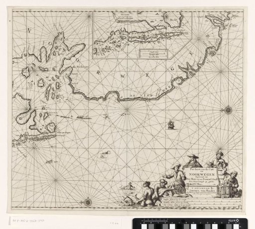 Chart of a part of the coast of Norway
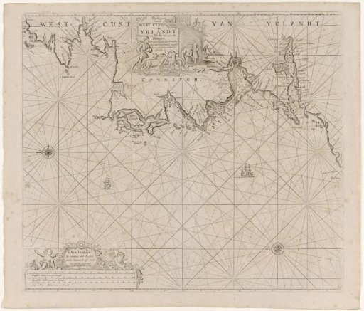 Chart of a section of the west coast of Ireland
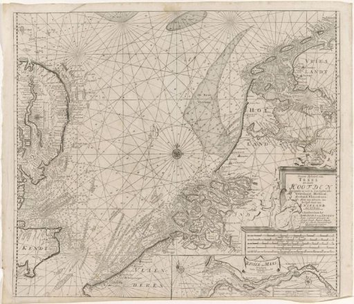 Chart of the southern part of the North Sea and a part of the east coast of England