Public domain
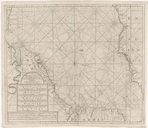
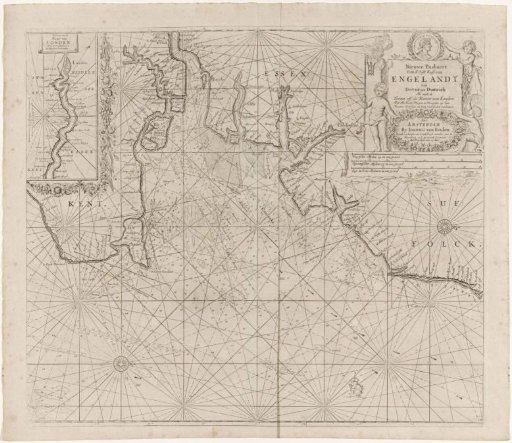
Chart of part of the east coast of England with the mouth of the Thames
From the collection of Rijksmuseum, Amsterdam. Free to download, adapt and use — no permission needed.
About this work
Chart of a part of the east coast of England with the mouth of the Thames and an inset chart of the Thames to London, with three compass roses. The frame of the inset chart is decorated with flowers. In the upper right a cartouche with the title, the publisher's address and the scale, shown in German, Spanish and English or French miles (scale: c. 1:300,000). Accompanying this information are three putti, one holding a lighthouse and another a medallion with a portrait.
Rijksmuseum, Amsterdam’s own descriptionCredit linePaskaart van een deel van de oostkust van Engeland met de monding van de Theems. 1681 - 1803. anonymous. Rijksmuseum, Amsterdam. Public domain.