Public domain
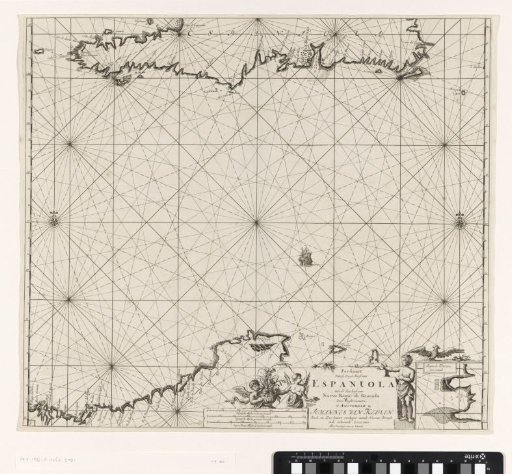
Chart of Haiti, the Dominican Republic, Venezuela and Curaçao and Aruba
From the collection of Rijksmuseum, Amsterdam. Free to download, adapt and use — no permission needed.
About this work
Chart of the south coast of Haiti, the south coast of the Dominican Republic, Curaçao, Aruba and a part of the north coast of Venezuela. In the lower right an inset with a map of a harbor. In the lower center the title, the publisher's address and the scale, shown in German, Spanish and English or French miles. The cartouche is decorated with a boy and two cherubs with flowers.
Rijksmuseum, Amsterdam’s own descriptionCredit linePaskaart van Haïti, de Dominicaanse Republiek, Venezuela en Curaçao en Aruba. 1684 - 1799. Jan Luyken. Rijksmuseum, Amsterdam. Public domain.
Similar works
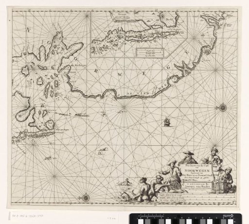 Chart of a part of the coast of Norway
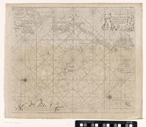 Chart of a part of the Atlantic Ocean with the west coast of Europe and a part of Africa
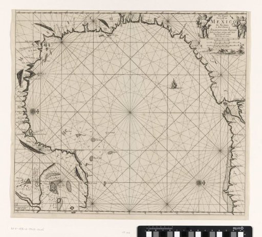 Chart of the Gulf of Mexico and the Gulf of Campeche
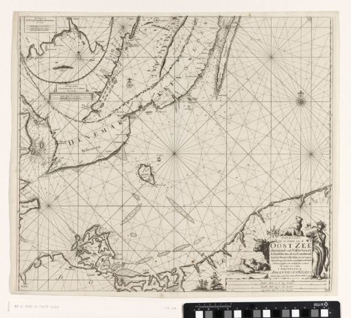 Chart of a southern part of the Baltic Sea
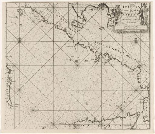 Chart of part of the south-west coast of Italy and the north coast of Sicily
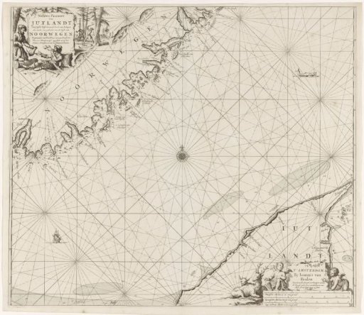 Chart of a part of the coast of Norway and Jutland