Public domain
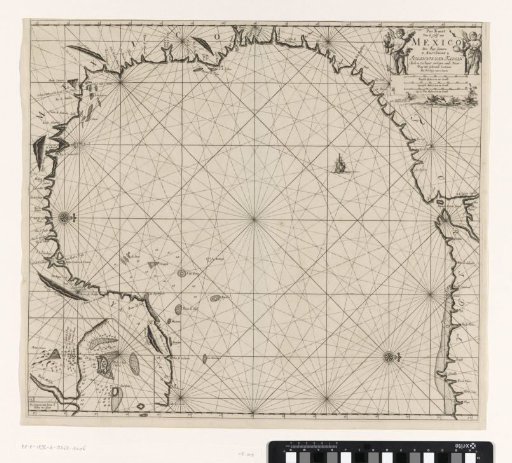
Chart of the Gulf of Mexico and the Gulf of Campeche
From the collection of Rijksmuseum, Amsterdam. Free to download, adapt and use — no permission needed.
About this work
Chart of the Gulf of Mexico and the Gulf of Campeche, with an inset map and two compass roses, North lying to the right. In the upper right the title, the publisher's address and the scale, shown in German, Spanish and English or French miles (scale: c. 1:2,700,000). The cartouche is flanked by two cherubs, one holding a mirror and a snake (symbols of caution) and the other a parrot and an anchor.
Rijksmuseum, Amsterdam’s own descriptionCredit linePaskaart van de Golf van Mexico en de Golf Campeche. 1684 - 1799. Jan Luyken. Rijksmuseum, Amsterdam. Public domain.
Similar works
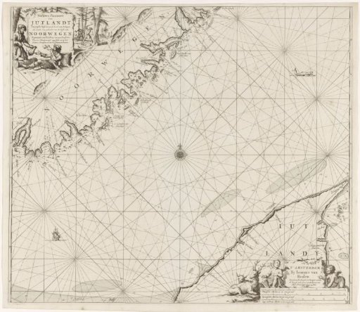 Chart of a part of the coast of Norway and Jutland
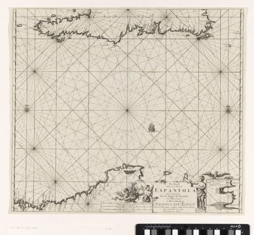 Chart of Haiti, the Dominican Republic, Venezuela and Curaçao and Aruba
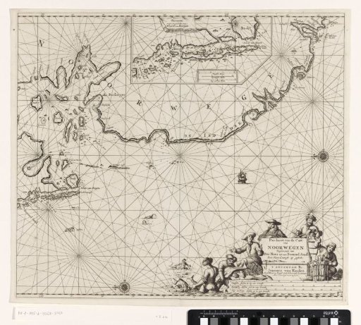 Chart of a part of the coast of Norway
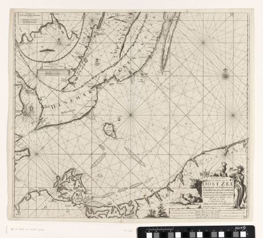 Chart of a southern part of the Baltic Sea
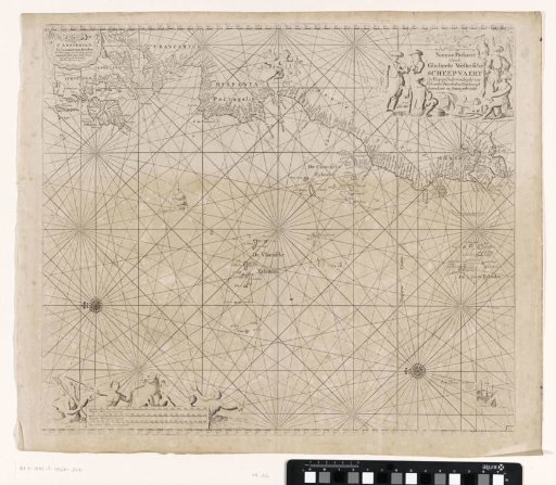 Chart of a part of the Atlantic Ocean with the west coast of Europe and a part of Africa
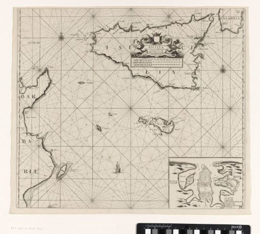 Chart of the islands of Sicily and Malta and part of the coast of Tunisia