Public domain
Map of the Lordship of Maarsseveen
From the collection of Rijksmuseum, Amsterdam. Free to download, adapt and use — no permission needed.
About this work
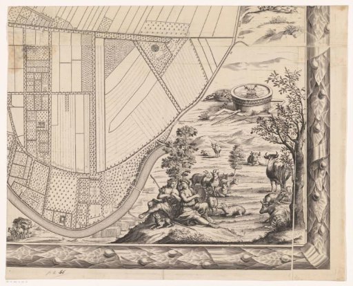
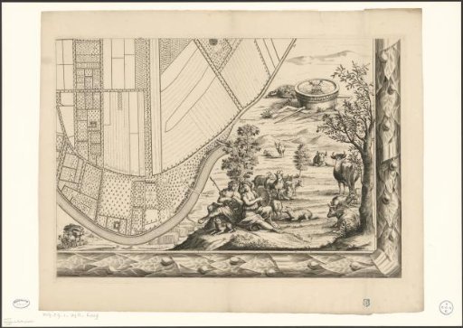
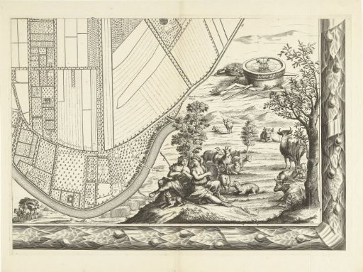
Bottom-right plate. A map of a part of the lordship of Maarsseveen. At the bottom, images of an Arcadian landscape with shepherds.
Rijksmuseum, Amsterdam’s own descriptionCredit linePlattegrond van de heerlijkheid Maarsseveen. 1690 - 1691. Philibert Bouttats. Rijksmuseum, Amsterdam. Public domain.