Public domain
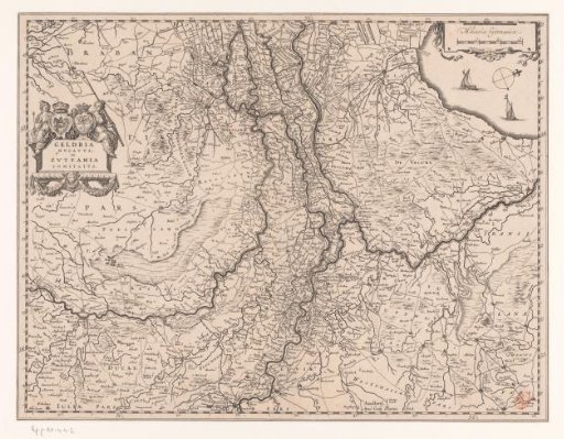
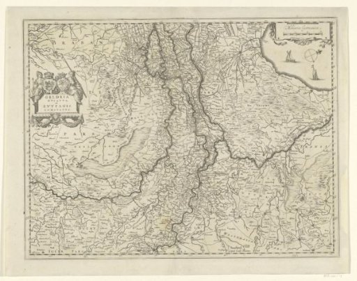
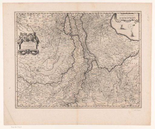
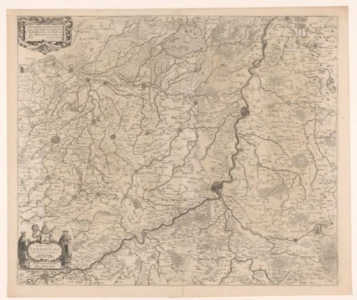
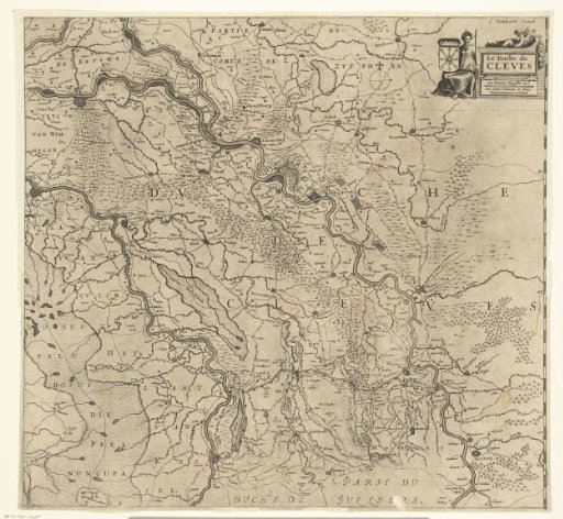
Map of the Duchy of Cleves
From the collection of Rijksmuseum, Amsterdam. Free to download, adapt and use — no permission needed.
About this work
Map of the Duchy of Cleves with the many places located in the Rhine river basin, but also cities and villages near the Meuse as far as Venlo. In the top right, a cartouche with title and scale, flanked by a seated woman with a spear and a coat of arms.
Rijksmuseum, Amsterdam’s own descriptionSubjects
Credit lineKaart van Hertogdom Kleef. 1600 - 1699. Cornelis Danckerts. Rijksmuseum, Amsterdam. Public domain.