Public domain
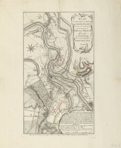
Map of the crossing of the allied army at Lobith, 1758
From the collection of Rijksmuseum, Amsterdam. Free to download, adapt and use — no permission needed.
About this work
Map of the course of the Rhine River between Emmerich and Panderen, indicating where the allied army crossed the river at Lobith or Tolhuis on the night of June 1 to 2, 1758, and returned at Griethausen on the night of August 8 to 9. In the lower right, a cartouche with the legend A-R in French. Below the title, the name: F.W. de Bawr.
Rijksmuseum, Amsterdam’s own descriptionCredit lineKaart van de oversteek van het geallieerde leger bij Lobith, 1758. 1765. Jacob van der Schley. Rijksmuseum, Amsterdam. Public domain.
Similar works
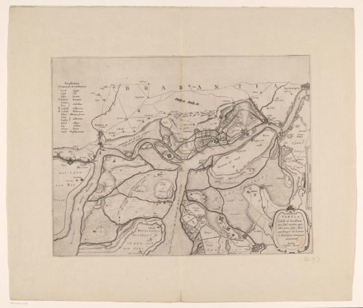 Forts on the Eastern and Western Scheldt, 1627
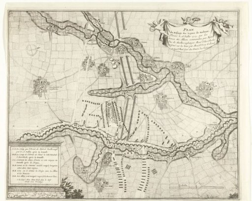 Breaking through the French lines in Brabant, 1705
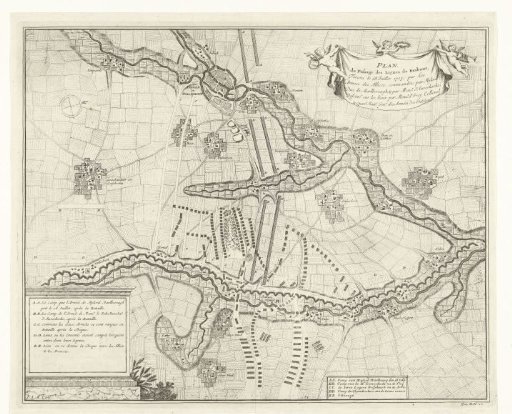 Breaking Through the French Lines in Brabant, 1705
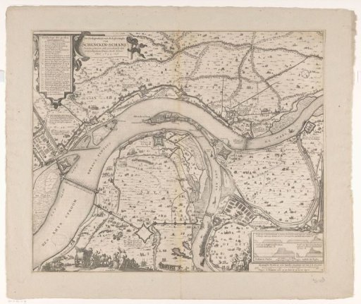 Map with the siege and capture of Schenkenschans by Frederick Henry, 1635-1636
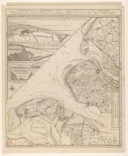 Map of the island of Goeree and surrounding areas
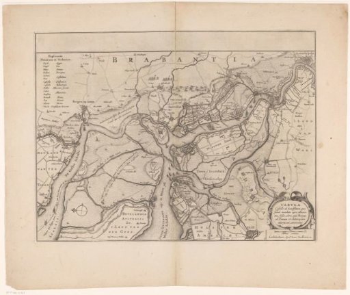 Forts on the Ooster- and Westerschelde, 1627