Public domain
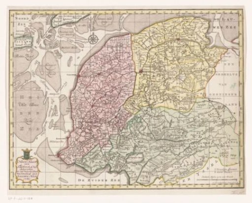
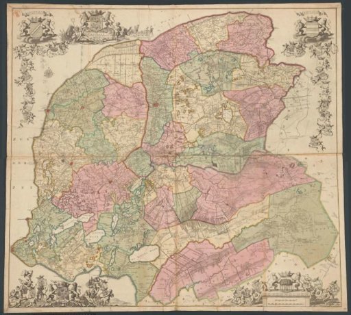
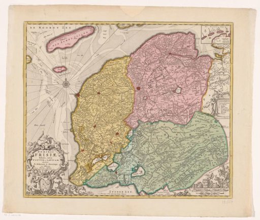
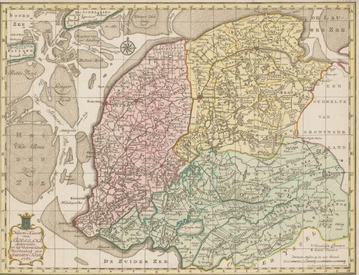
Topographical map of Friesland, 1781
From the collection of Rijksmuseum, Amsterdam. Free to download, adapt and use — no permission needed.
About this work
Topographical map of the province of Friesland, with the Wadden Sea at the top and the islands of Terschelling and Vlieland at the top left. Bottom left a cartouche with the title of the print, and bottom right the scale and a legend. Along the edges of the print is a degree scale, and at the top center a wind rose.
Rijksmuseum, Amsterdam’s own descriptionSubjects
Credit lineTopografische kaart van Friesland, 1781. 1781. Abraham van Krevelt. Rijksmuseum, Amsterdam. Public domain.