Public domain
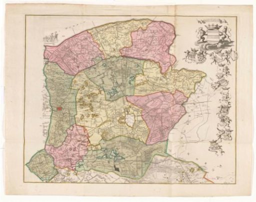
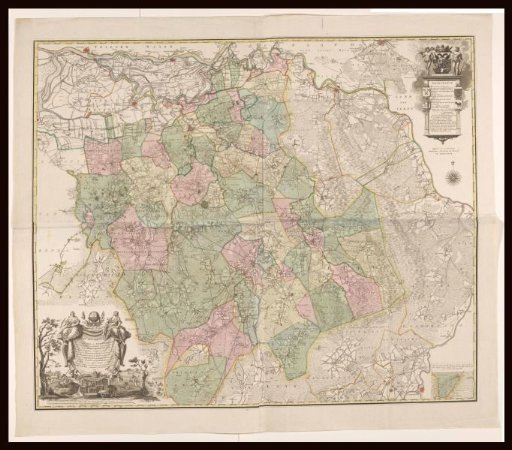
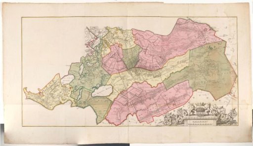
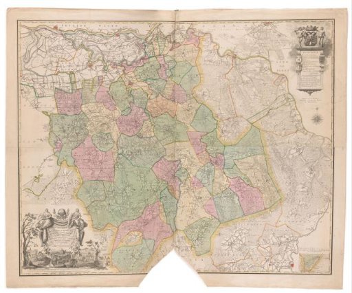
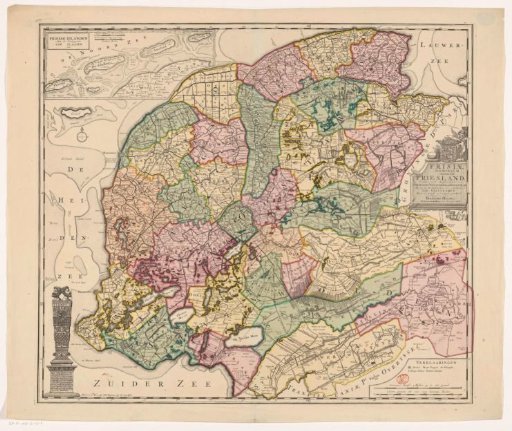
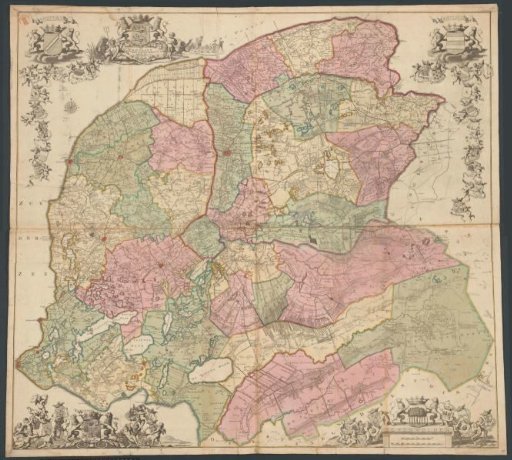
Map of Friesland
From the collection of Rijksmuseum, Amsterdam. Free to download, adapt and use — no permission needed.
About this work
Top left: the arms of Westergo and the nine grietenijen of this quarter. To the right of that, the title cartouche, surrounded by the arms of Friesland, water gods, a putto, and a triton. Next to it, a farmer and turf cutters at work. Bottom left: the arms of the Frisian cities. Top right: the arms of Oostergo and the eleven grietenijen of this quarter. Bottom right: the arms of Zevenwouden and the ten grietenijen of this quarter. Below that, two scale bars: 1200 king's rods make an hour's journey, A German mile of 15 in a degree, which makes 2000 king's rods.
Rijksmuseum, Amsterdam’s own descriptionCredit lineKaart van Friesland. 1739. anonymous. Rijksmuseum, Amsterdam. Public domain.