Public domain
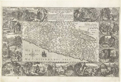
Map of the Holy Land
From the collection of Rijksmuseum, Amsterdam. Free to download, adapt and use — no permission needed.
About this work
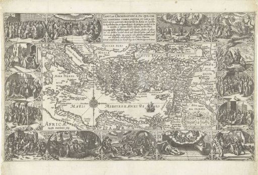
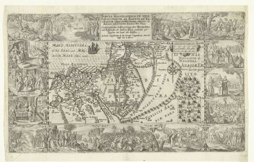
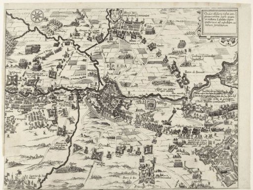
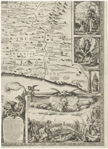
Map of the Holy Land with the Sea of Tiberias and the Dead Sea. Around the map 15 cartouches with scenes from the Old Testament.
Rijksmuseum, Amsterdam’s own descriptionSubjects
Credit lineKaart van het Heilige Land. 1603 - 1604. Baptista van Doetechum. Rijksmuseum, Amsterdam. Public domain.