Public domain
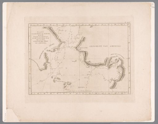
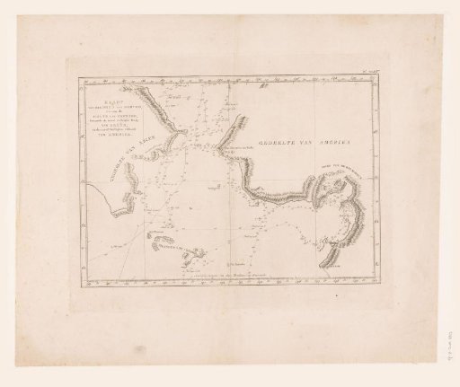
Map of the Bering Strait
From the collection of Rijksmuseum, Amsterdam. Free to download, adapt and use — no permission needed.
About this work
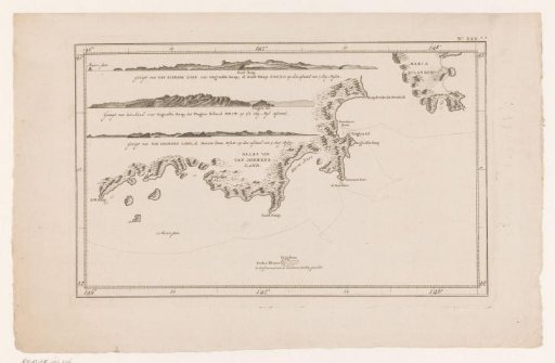
Chart with soundings in the Bering Strait and along the coast. In the map image the route of James Cook is indicated.
Rijksmuseum, Amsterdam’s own descriptionSubjects
Credit lineKaart van de Beringstraat. 1795 - 1803. anonymous. Rijksmuseum, Amsterdam. Public domain.