Public domain
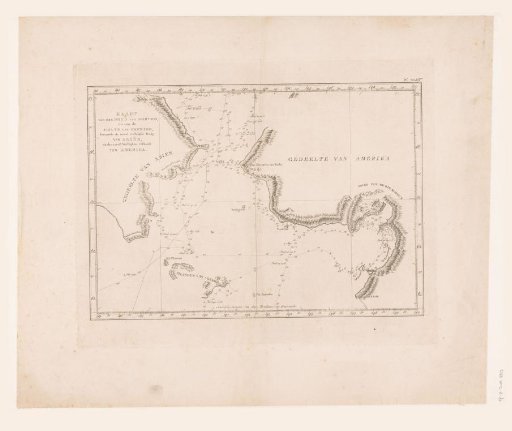
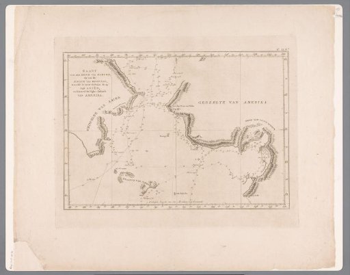
Map of the mouth of Norton Sound and the Bering Strait
From the collection of Rijksmuseum, Amsterdam. Free to download, adapt and use — no permission needed.
About this work
Map of the waters between America and Asia near the Bering Strait and the mouth of Norton. The routes of the expeditions in 1778 and 1779 of James Cook and Charles Clerke are indicated. Around it a degree division.
Rijksmuseum, Amsterdam’s own descriptionCredit lineKaart van de monding Norton en de Beringstraat. 1780 - 1800. anonymous. Rijksmuseum, Amsterdam. Public domain.