Public domain
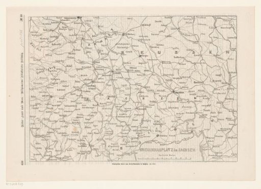
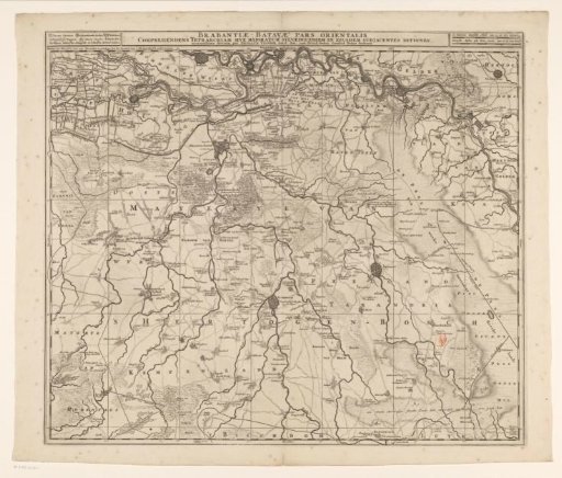
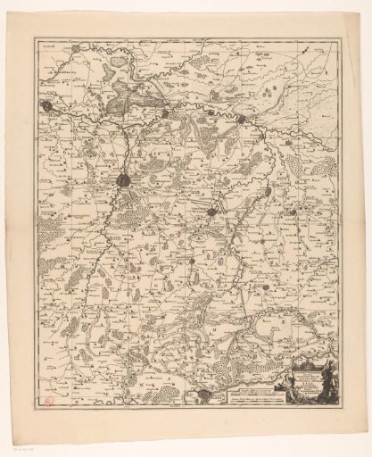
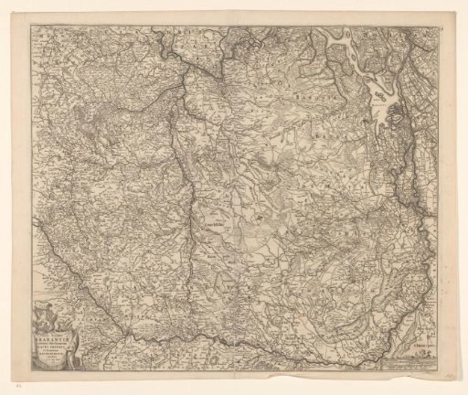
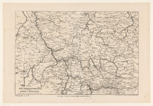
Map of the battlefield between the Rhine and the Main, 1866
From the collection of Rijksmuseum, Amsterdam. Free to download, adapt and use — no permission needed.
About this work
Map of the battlefield in Germany between the Rhine and the Main. During the Austro-Prussian War of 1866. In the lower left 'Autographie von C.B.'
Rijksmuseum, Amsterdam’s own descriptionCredit lineKaart van het strijdtoneel tussen Rijn en Main, 1866. 1866-07. A. Mayer. Rijksmuseum, Amsterdam. Public domain.