Public domain
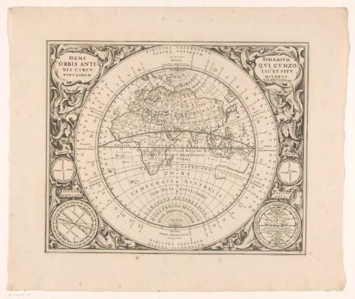
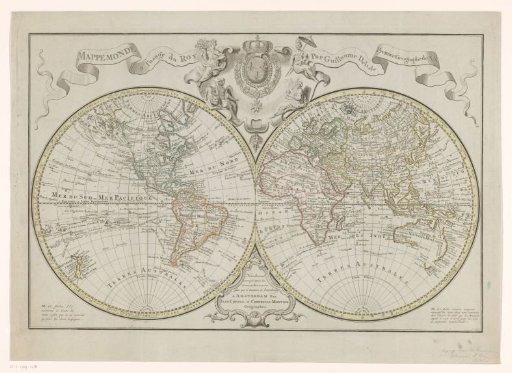
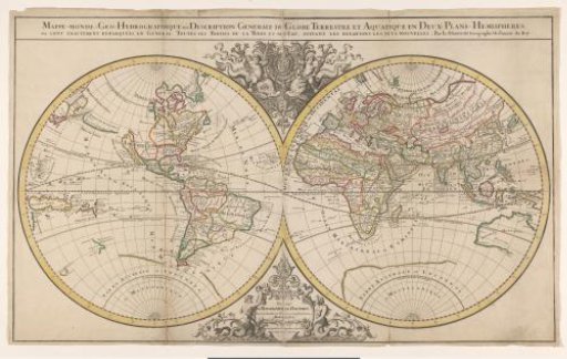
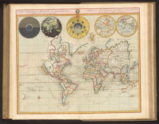
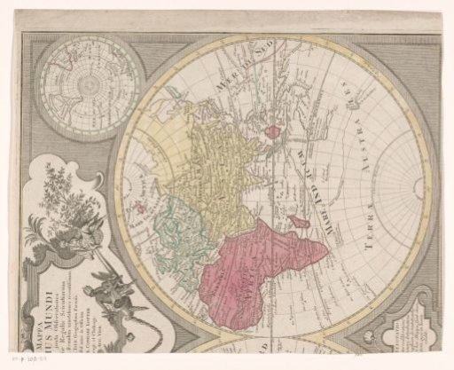
Right half of a world map, showing the Eastern Hemisphere
From the collection of Rijksmuseum, Amsterdam. Free to download, adapt and use — no permission needed.
About this work
Right half of a world map; now only the eastern hemisphere is visible. Top left, the title cartouche, with an allegorical representation of two of the four great continents in the form of female figures. On the map, Nova Hollandia and the voyage of Abel Tasman of 1642 are visible. Top right, a map of the South Pole. The map is provided with a degree division along the edges.
Rijksmuseum, Amsterdam’s own descriptionCredit lineRechterhelft van een wereldkaart, met het oostelijk halfrond. after 1775. anonymous. Rijksmuseum, Amsterdam. Public domain.