Public domain
World map
From the collection of Rijksmuseum, Amsterdam. Free to download, adapt and use — no permission needed.
About this work
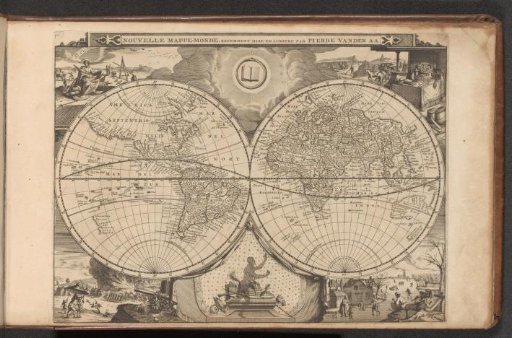
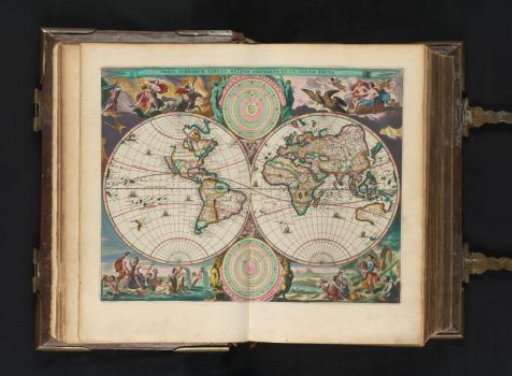
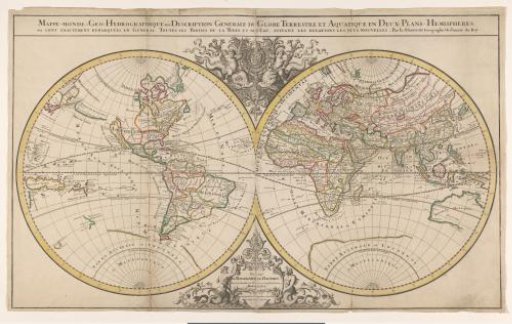
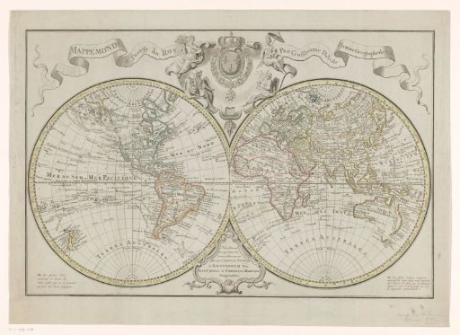
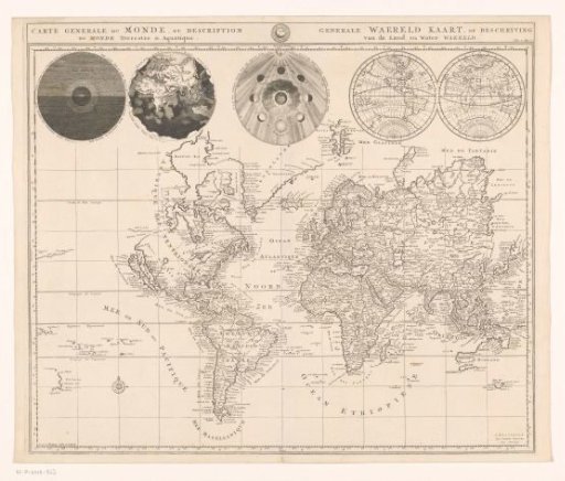
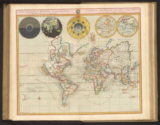
World map. Above the map, a bar with the title in French and Dutch. At the top of the map, five globes showing, from left to right, representations of day and night on Earth, the Earth without water, the phases of the moon, and the Western and Eastern hemispheres. References to passages from Genesis are placed next to the first three globes. The map is equipped with a search grid and a degree division along the edges. Marked in the top right: Vol. 1. Page 2. Fold-out map from the second part of the picture Bible with the New Testament, published by Pieter Mortier, Amsterdam 1700.
Rijksmuseum, Amsterdam’s own descriptionCredit lineWereldkaart. 1700. Dirk Janszoon van Santen. Rijksmuseum, Amsterdam. Public domain.