Public domain
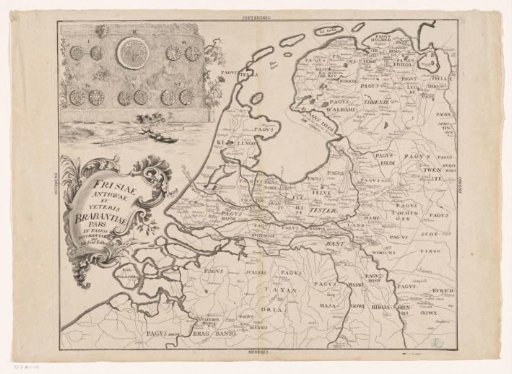
Historical map of the Netherlands in the late Roman period
From the collection of Rijksmuseum, Amsterdam. Free to download, adapt and use — no permission needed.
About this work
Historical map of the Netherlands in the late Roman period, divided into pagi ('pagi'). Top left: a wall with various late Roman and early Christian or Frankish coins. Below it: scale bar: Milliaria Germanica communia. Below that: title cartouche.
Rijksmuseum, Amsterdam’s own descriptionCredit lineHistorische kaart van Nederland in de laat-Romeinse tijd. c. 1730. Johann Georg Schmidt. Rijksmuseum, Amsterdam. Public domain.
Similar works
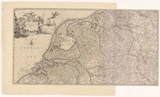 Map of the Republic of the Seven United Netherlands and part of the Holy Roman Empire
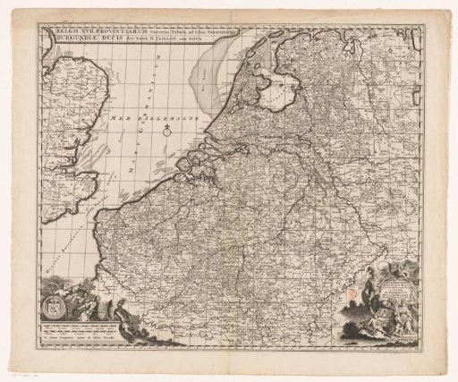 Map of the Seventeen Provinces
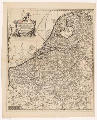 Map of the Seventeen Provinces
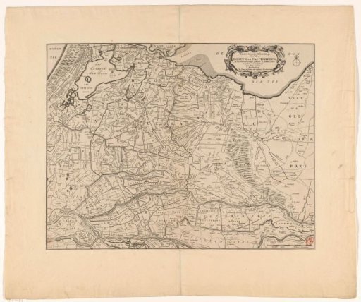 Map of the provinces of Holland, Utrecht and Gelderland with the fortifications and forts built during the war of 1672
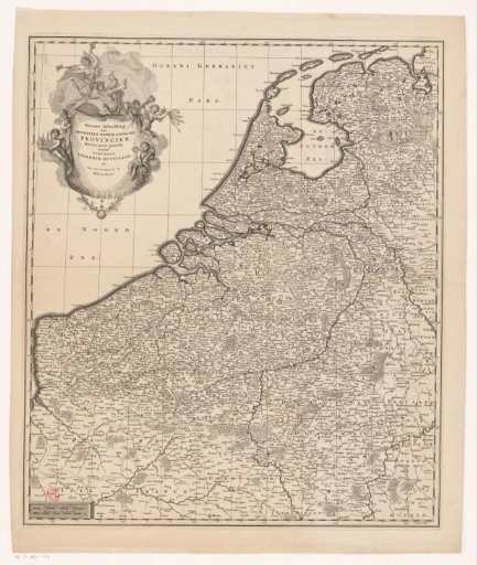 Map of the Seventeen Provinces
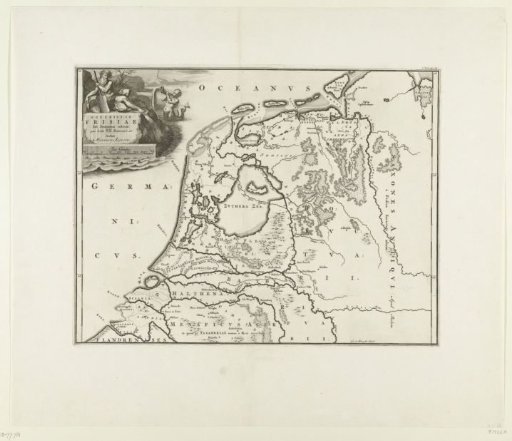 Historical map of the Netherlands with the territories of the Batavians and Frisians