Public domain
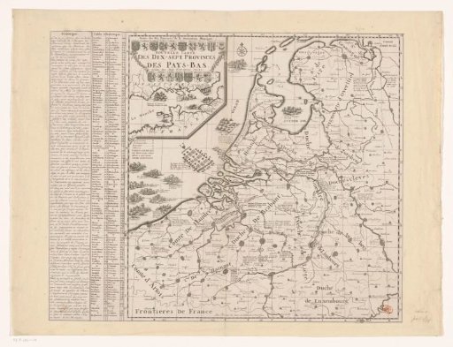
Map of the Seventeen Provinces
From the collection of Rijksmuseum, Amsterdam. Free to download, adapt and use — no permission needed.
About this work
Map of the Seventeen Provinces. On the map various land and sea battles in the Northern and Southern Netherlands are depicted dating from the outbreak of the Dutch Revolt to the War of the Spanish Succession. In the upper left an inset with the coasts of France and England and various sea battles in the Channel. Above it the coats of arms of the Seventeen Provinces. The map is provided with a search grid and a degree division along the edges. To the left of the map a French text on the history of the Netherlands and a legend.
Rijksmuseum, Amsterdam’s own descriptionCredit lineKaart van de Zeventien Provinciën. 1701. anonymous. Rijksmuseum, Amsterdam. Public domain.
Similar works
 Map of the Seventeen Provinces
 Map of the County of Flanders
 Map of the provinces of Holland, Utrecht and Gelderland with the fortifications and forts built during the war of 1672
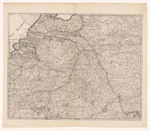 Carte des XVII Provinces des Pays Bas ...
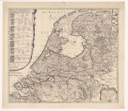 Map of the Republic of the Seven United Netherlands
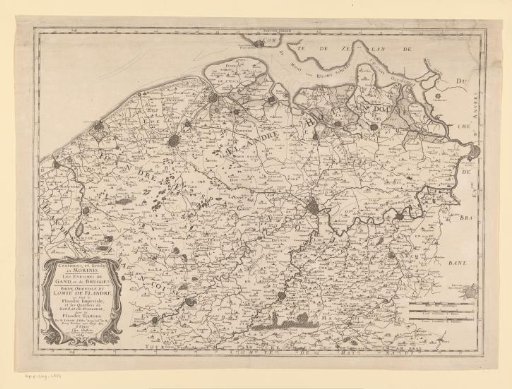 Map of the County of Flanders