Public domain
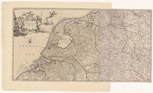
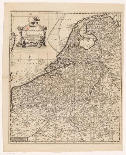
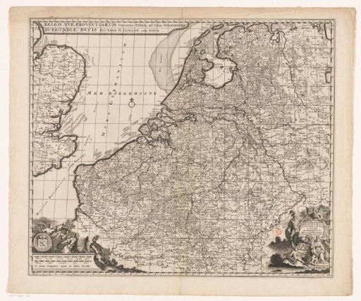
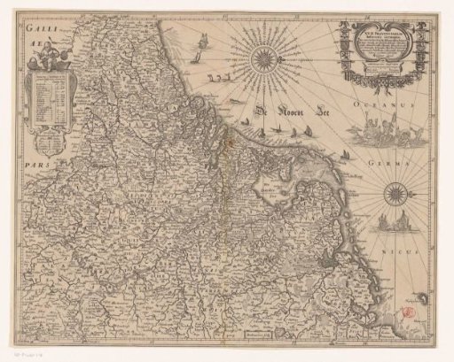
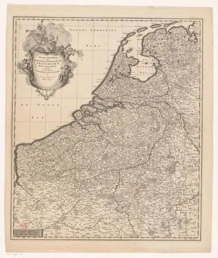
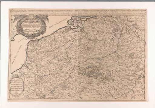
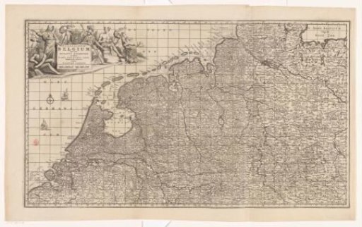
Map of the Republic of the Seven United Netherlands and part of the Holy Roman Empire
From the collection of Rijksmuseum, Amsterdam. Free to download, adapt and use — no permission needed.
About this work
Upper left cartouche with title, around it are depicted several figures, including a river god, Justitia, Minerva and Mercury, and the coat of arms of the Republic. Scale below title: Milliaria Germanica communia, Milliaria Gallica communia. The map is equipped with a grid and a degree division along the edges.
Rijksmuseum, Amsterdam’s own descriptionSubjects
Credit lineKaart van de Republiek der Zeven Verenigde Nederlanden en een deel van het Heilige Roomse Rijk. 1680 - 1683. Carel Allard. Rijksmuseum, Amsterdam. Public domain.