Public domain
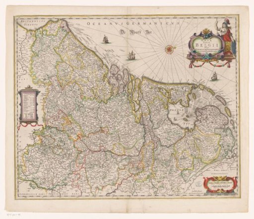
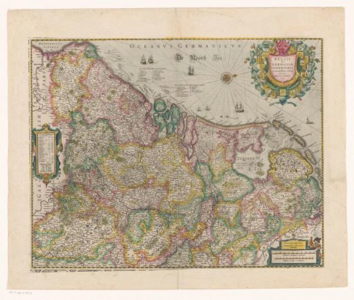
Map of the Netherlands, 1631
From the collection of Rijksmuseum, Amsterdam. Free to download, adapt and use — no permission needed.
About this work
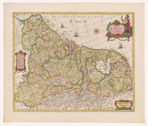
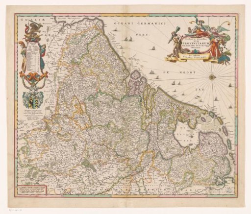
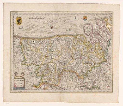
Left: cartouche with an overview and topographical information for each province. Top right: title cartouche in the shape of a shield surrounded by the arms of the Seventeen Provinces. Bottom right: cartouche with scale bars: Milliaria Germanica communia, Milliaria Gallica communia. Degree divisions along the edges. Orientation: north to the right. French text on verso.
Rijksmuseum, Amsterdam’s own descriptionSubjects
Credit lineKaart van de Nederlanden, 1631. 1631. Henricus Hondius. Rijksmuseum, Amsterdam. Public domain.