Public domain
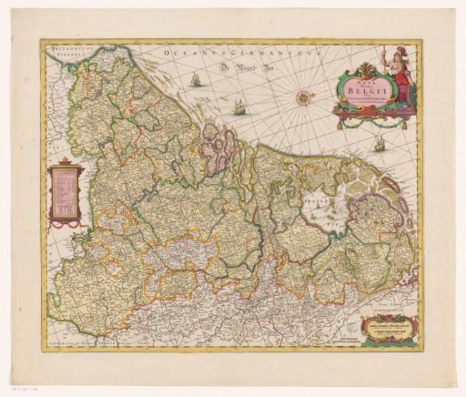
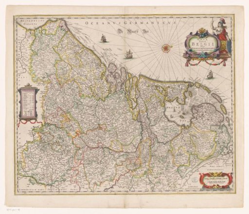
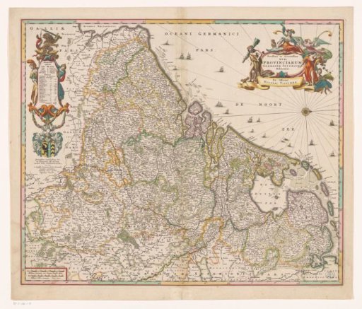
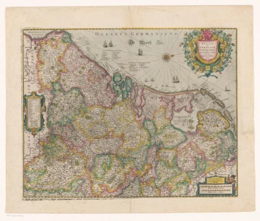
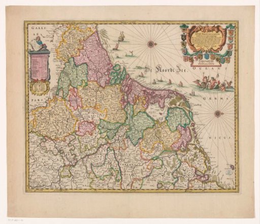
Map of the Seventeen Provinces
From the collection of Rijksmuseum, Amsterdam. Free to download, adapt and use — no permission needed.
About this work
Top left: cartouche with an overview of the provinces, topographical information, and legend. A man holding a map sits on this cartouche. Top right: title cartouche surrounded by the arms of the Seventeen Provinces. Below: scale bars: Mill Germa. comm. / Duytse mijen, Horae itiner. / Uren gaens. Below that: a mythological scene with Neptune, Salacia, and three tritons. Degree divisions along the edges. Orientation: north to the right.
Rijksmuseum, Amsterdam’s own descriptionSubjects
Credit lineKaart van de Zeventien Provinciën. 1659. anonymous. Rijksmuseum, Amsterdam. Public domain.