Public domain
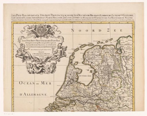
Map of the Seventeen Provinces (upper part)
From the collection of Rijksmuseum, Amsterdam. Free to download, adapt and use — no permission needed.
About this work
Top part of a map of the Seventeen Provinces.
Rijksmuseum, Amsterdam’s own descriptionCredit lineKaart van de Zeventien Provinciën (bovenste deel). 1690 - 1692. anonymous. Rijksmuseum, Amsterdam. Public domain.
Similar works
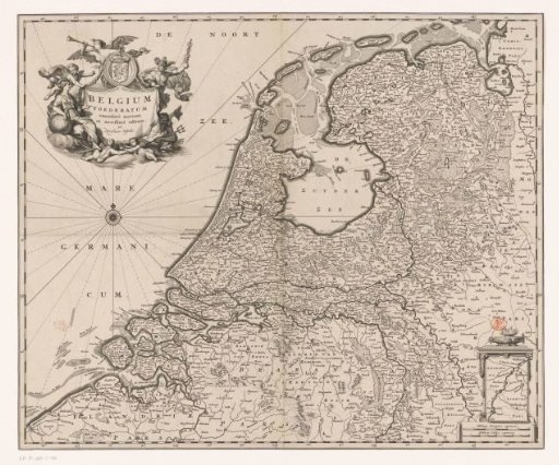 Map of the Republic of the Seven United Netherlands
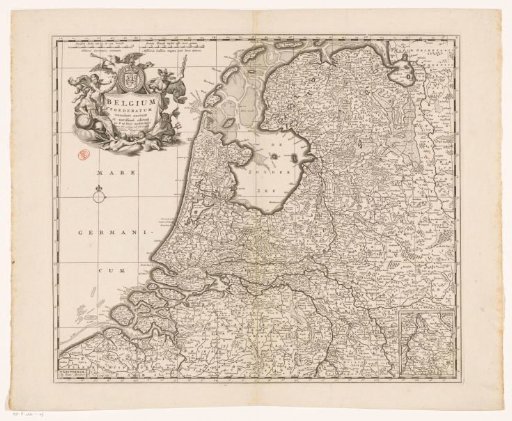 Map of the Republic of the Seven United Netherlands
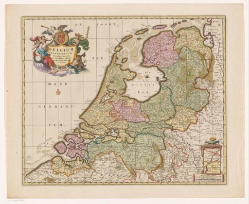 Map of the Republic of the Seven United Netherlands
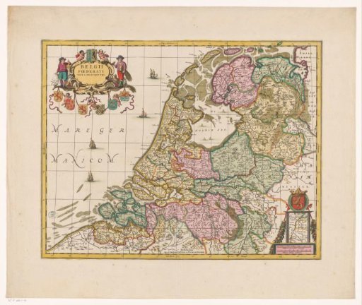 Map of the Republic of the Seven United Netherlands
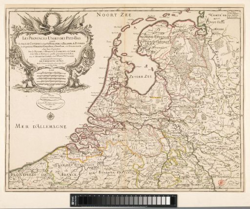 French map of the Republic showing the conquests of the French king, 1672
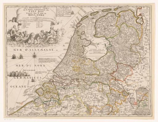 Map of the Republic of the Seven United Netherlands