Public domain
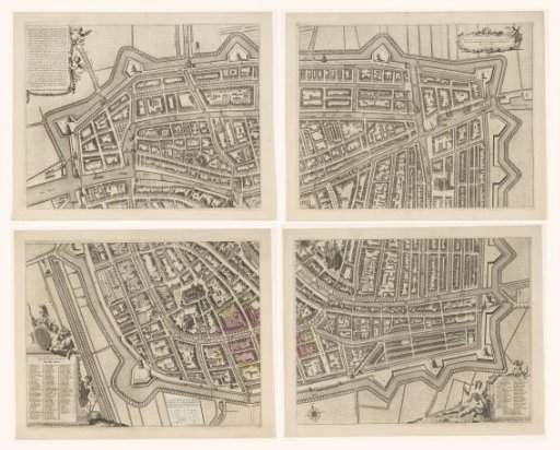
Map of Leiden, consisting of four parts
From the collection of Rijksmuseum, Amsterdam. Free to download, adapt and use — no permission needed.
About this work
Top left: a cartouche with the original privilege issued on 12 July 1675. Top right: a scale rod: Schala van 50 Rhijnlandtse roeden, measured and drawn by Johan Douw de Jonge. Bottom left: a cartouche with the legend A-Z, a and 1-110. To the right, an affixed paper with an explanation and legend for the pink and yellow buildings. The pink-colored buildings are those destroyed in the Leiden gunpowder explosion of 12 January 1807. The yellow-colored buildings are those demolished as a result of this disaster. Bottom right: a cartouche with the names of the members of the Leiden city council sitting in 1670.
Rijksmuseum, Amsterdam’s own descriptionCredit linePlattegrond van Leiden, bestaande uit vier delen. 1675. Christiaan Hagen. Rijksmuseum, Amsterdam. Public domain.
Similar works
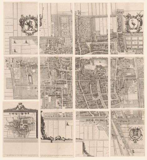 Map of The Hague, consisting of twelve parts
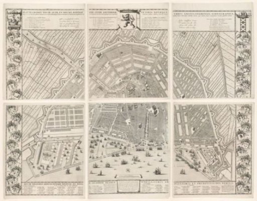 Map of Amsterdam with the design and execution of the Fourth Extension, consisting of six parts
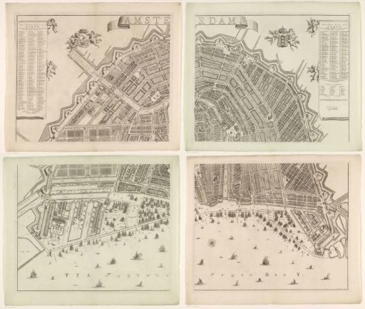 Map of Amsterdam, consisting of four parts
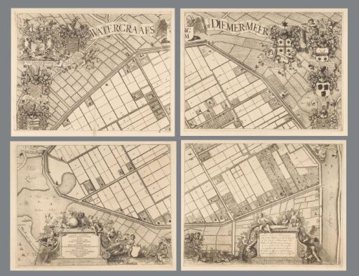 Map of the Watergraafsmeer, consisting of four parts
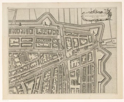 Map of Leiden (upper right part)
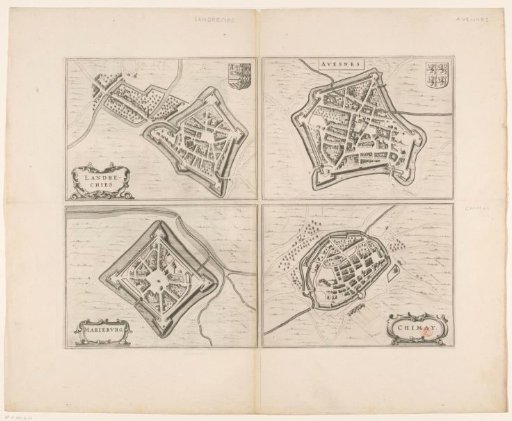 Map of Landeschie, Avennes, Chimay and Mariembourg