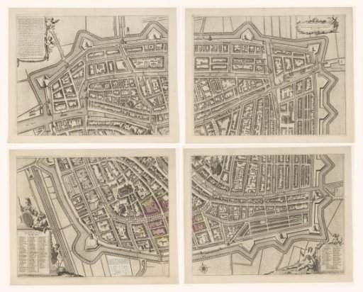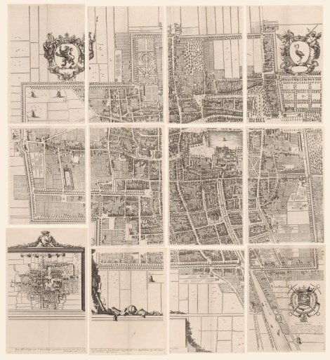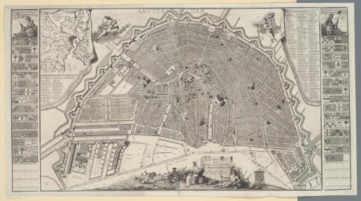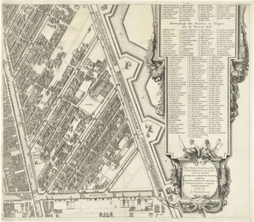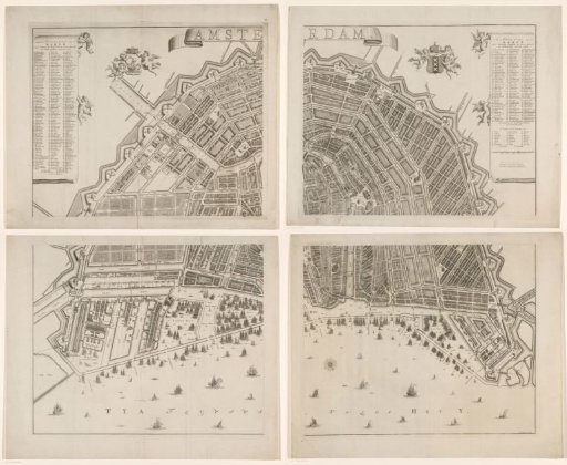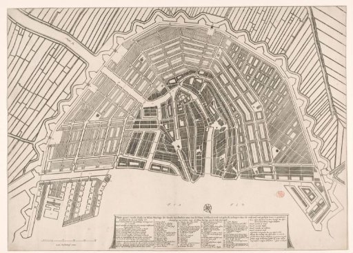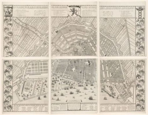
Map of Amsterdam with the design and execution of the Fourth Extension, consisting of six parts
From the collection of Rijksmuseum, Amsterdam. Free to download, adapt and use — no permission needed.
Map of Amsterdam with the design by Daniel Stalpaert for the Fourth Extension (expansion). The part to be built at the time is shaded lighter and, given that this state was issued after the extension was carried out, adjusted to the later situation. Thus, buildings constructed later have been added and the Plantage has received a new plot-by-plot layout. In the upper middle, the coat of arms of Holland. To the left of it, in Dutch, the title with below it the names of the seven members of the committee whose task was to advise the vroedschap on the Fourth Extension (left) and the names of the four burgomasters from the year 1662 who gave the order for the execution of the extension (right). To the right of the aforementioned coat of arms, the same in Latin. Along the left side, the city seal with below it the coats of arms of eighteen members of the vroedschap.
Rijksmuseum, Amsterdam’s own description