Public domain
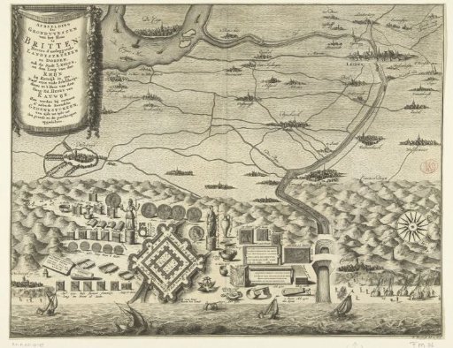
Map with plan of the House at Britten
From the collection of Rijksmuseum, Amsterdam. Free to download, adapt and use — no permission needed.
About this work
Map of the House at Britten included in a map of the surrounding area. At the bottom the coast, behind it the dunes and the hinterland with the places located therein: Katwijk aan Zee, Leiden, Wassenaar, etc. In the upper left a cartouche with the title.
Rijksmuseum, Amsterdam’s own descriptionCredit lineKaart met plattegrond van het Huis te Britten. 1728 - 1739. François van Bleyswijck. Rijksmuseum, Amsterdam. Public domain.
Similar works
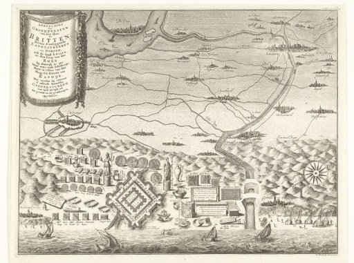 Foundations of the So-Called House at Britten or Bretten and Excavated Roman Utensils at Katwijk aan Zee
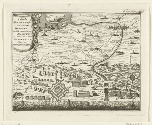 Coastal landscape with the foundations of the House at Britten
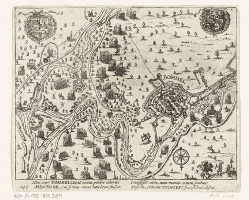 Siege of Zaltbommel and other battles in the Bommelerwaard, 1599
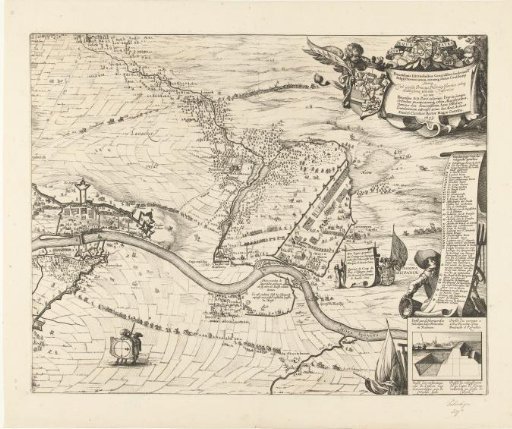 Siege of Maastricht, 1632 (plate 2)
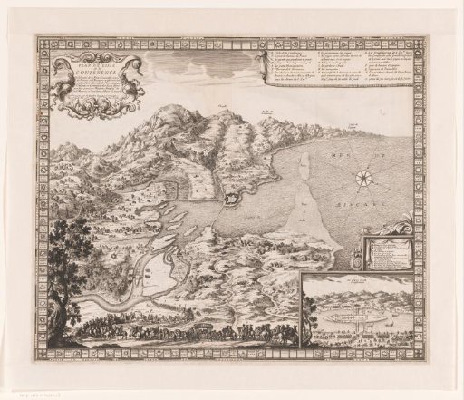 Map of the area around Île des Faisans
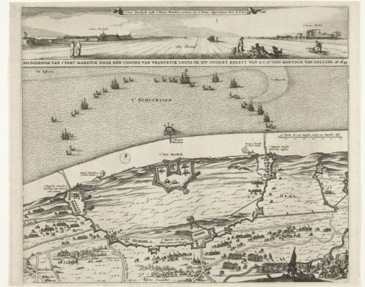 Siege of Fort Mardijk, 1645