Public domain
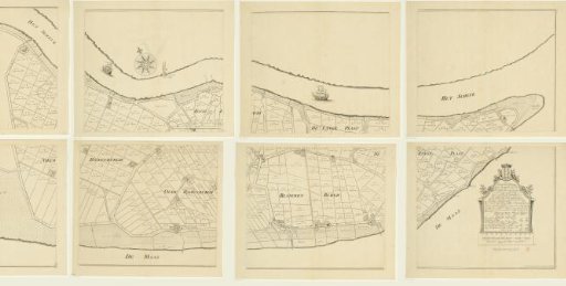
Map of the island of Rozenburg, consisting of eight parts
From the collection of Rijksmuseum, Amsterdam. Free to download, adapt and use — no permission needed.
About this work
Map of the island of Rozenburg, situated in the Meuse. Bottom right: a cartouche with the title and information. Above the cartouche: the coat of arms of Rozenburg; below the cartouche: a scale bar: This scale comprises two hundred Voorn rods. In each parcel the area and a number are mentioned. These numbers can be found on a printed list with the names of the buyers of the parcels.
Rijksmuseum, Amsterdam’s own descriptionCredit lineKaart van het eiland Rozenburg, bestaande uit acht delen. 1727. anonymous. Rijksmuseum, Amsterdam. Public domain.
Similar works
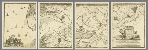 Map of the Meuse from Rotterdam to the North Sea, consisting of four parts
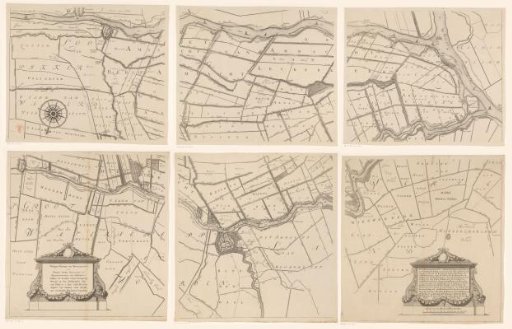 Map of the Hoogheemraadschap of the Krimpenerwaard, consisting of six parts
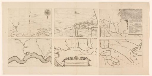 Map of the area between 's-Hertogenbosch and Geertruidenberg with dike breaches, consisting of six sheets
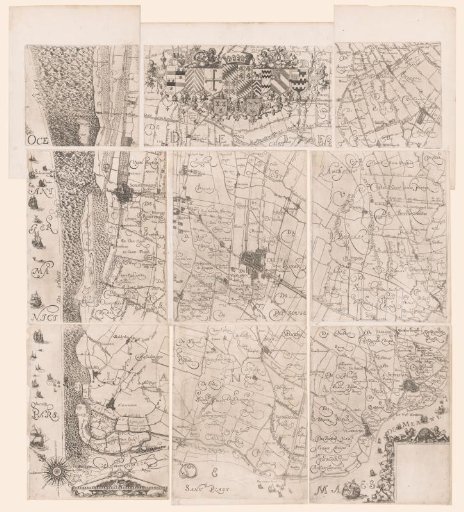 Map of the Hoogheemraadschap of Delfland, consisting of nine parts
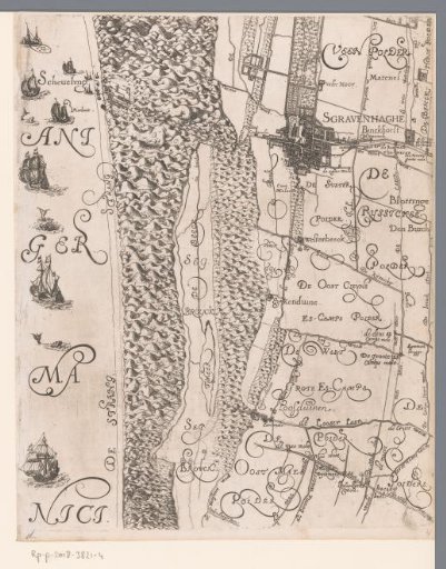 Map of the Hoogheemraadschap of Delfland, with The Hague and surroundings, middle left part
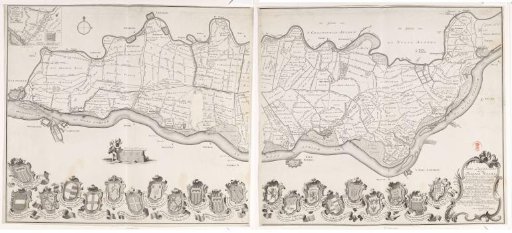 Map of the Tielerwaard, consisting of two parts