Public domain
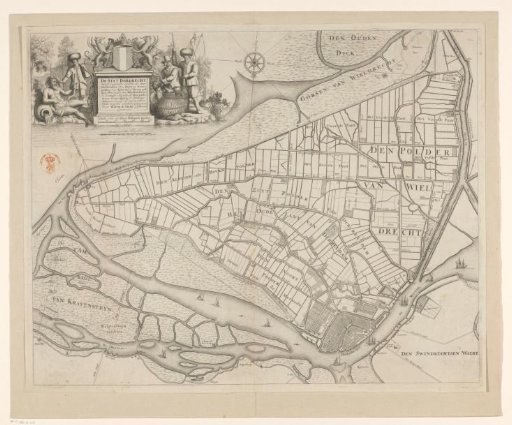
Map of Dordrecht and surrounding polders
From the collection of Rijksmuseum, Amsterdam. Free to download, adapt and use — no permission needed.
About this work
Map of Dordrecht and surrounding polders. In the top left the title cartouche with above it the coat of arms of Dordrecht and below it a scale: Scale of 300 South Holland rods. Around it on the left a river god and a fisherman and on the right a goose catcher and a fisherman.
Rijksmuseum, Amsterdam’s own descriptionCredit lineKaart van Dordrecht en omliggende polders. 1673. Bastiaen Stopendael. Rijksmuseum, Amsterdam. Public domain.
Similar works
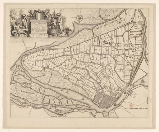 Map of Dordrecht and surrounding polders
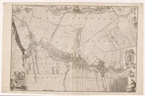 Map of Loenen and surroundings
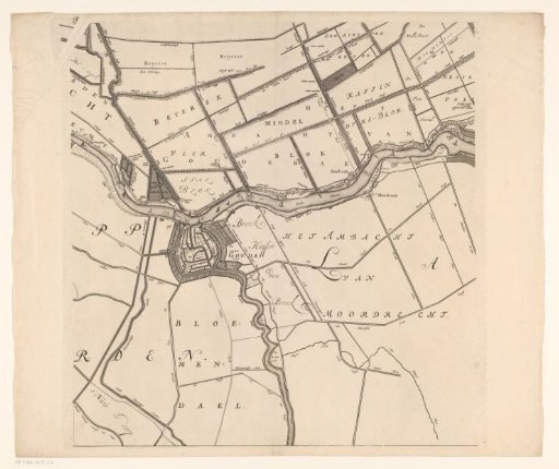 Map of the Hoogheemraadschap of the Krimpenerwaard (fifth part of the map)
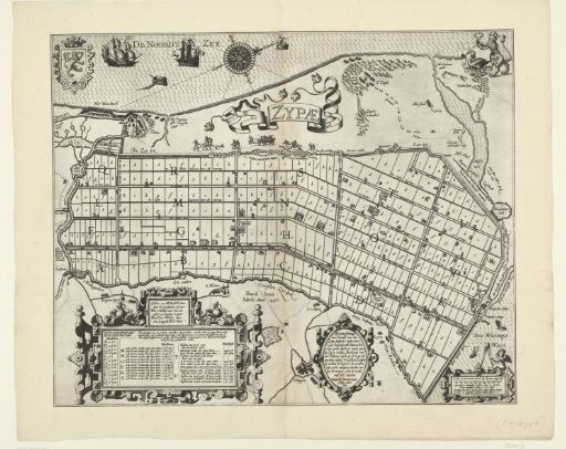 Land Division of the Zijpepolder, 1597
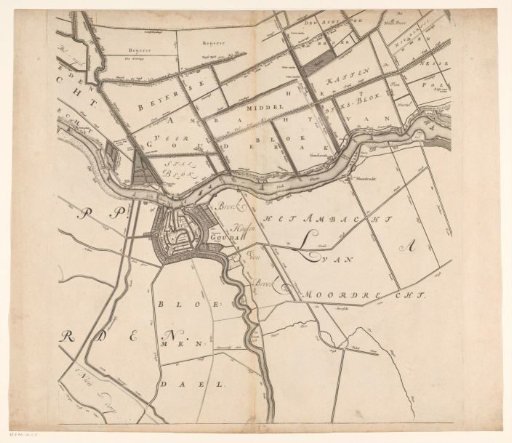 Map of the Hoogheemraadschap of the Krimpenerwaard (fifth part of the map)
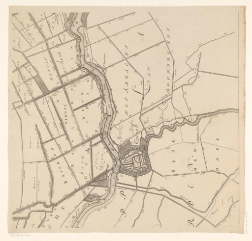 Map of the Hoogheemraadschap of the Krimpenerwaard (fifth part of the map)