Public domain
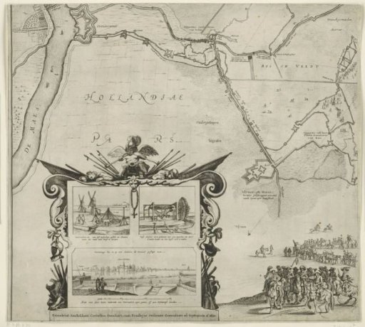
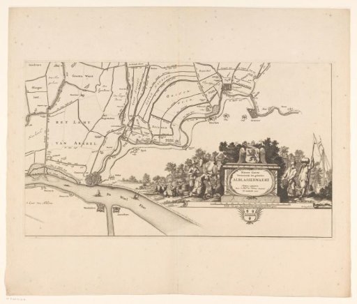
Map of the Alblasserwaard and the Vijfheerenlanden (lower right part)
From the collection of Rijksmuseum, Amsterdam. Free to download, adapt and use — no permission needed.
About this work
Part (bottom right) of a map of the Alblasserwaard and the Vijfheerenlanden, consisting of four parts and a coat of arms border.
Rijksmuseum, Amsterdam’s own descriptionCredit lineKaart van de Alblasserwaard en de Vijfheerenlanden (deel rechtsonder). 1681. Bastiaen Stopendael. Rijksmuseum, Amsterdam. Public domain.