Public domain
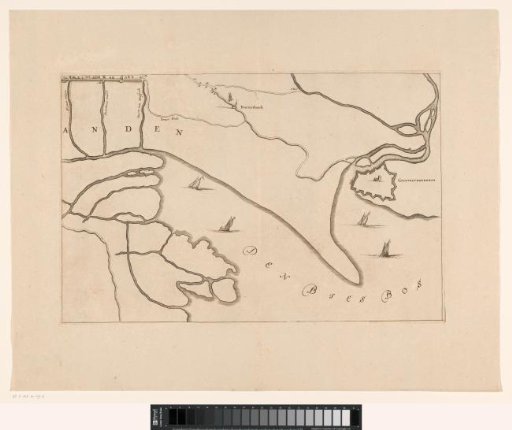
Map of the area between 's-Hertogenbosch and Geertruidenberg with dike breaches (sixth sheet)
From the collection of Rijksmuseum, Amsterdam. Free to download, adapt and use — no permission needed.
About this work
Sixth sheet of a map of the area between 's-Hertogenbosch and Geertruidenberg showing dike breaches, consisting of six sheets.
Rijksmuseum, Amsterdam’s own descriptionSubjects
Credit lineKaart van het gebied tussen Den Bosch en Geertruidenberg met dijkdoorbraken (zesde blad). 1658 - in or before 1757. anonymous. Rijksmuseum, Amsterdam. Public domain.
Similar works
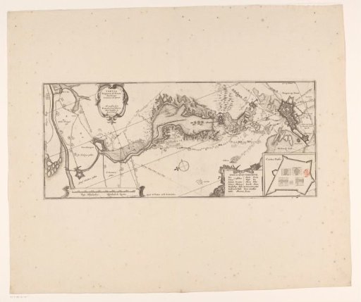 Map of the siege of Bergen op Zoom, 1622
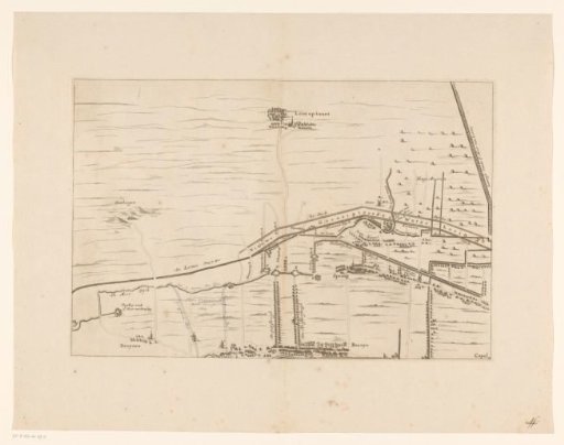 Map of the area between Den Bosch and Geertruidenberg with dike breaches (second sheet)
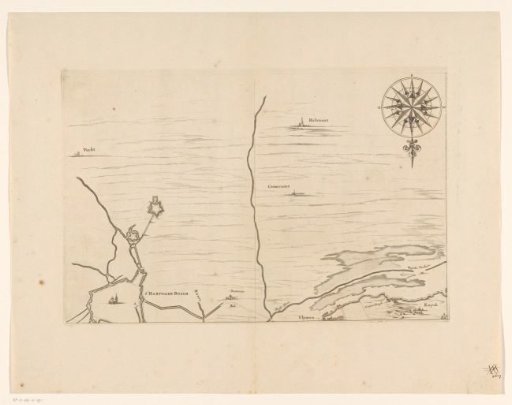 Map of the area between Den Bosch and Geertruidenberg with dike breaches (first sheet)
 Two maps of the Battle of the Saintes, 1782
 Map of Zeeland (third part)
 Triangulation along a river