Public domain
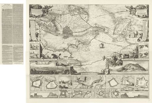
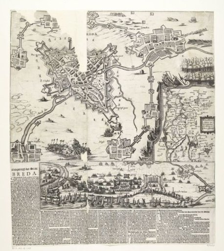
Map of the siege of Breda, 1624
From the collection of Rijksmuseum, Amsterdam. Free to download, adapt and use — no permission needed.
About this work
Large map of the siege of Breda by the Spanish army under Spinola, 27 August 1624 to 5 June 1625. Map of Breda and the surrounding land, with fortified army positions at Ginneken and Terheijden in the bottom left and top right. Bottom right, an inset with a map of the Bommelerwaard. Below this large print, a plate is pasted showing the deployment of armies from the Biesbos and the Dunge river. Accompanied by six columns of text with legends 1-16 in Dutch.
Rijksmuseum, Amsterdam’s own descriptionCredit lineKaart van het beleg van Breda, 1624. 1624. anonymous. Rijksmuseum, Amsterdam. Public domain.