Public domain
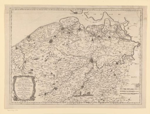
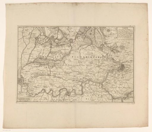
Map of East Flanders
From the collection of Rijksmuseum, Amsterdam. Free to download, adapt and use — no permission needed.
About this work
Map of East Flanders showing various defensive lines from the War of the Spanish Succession. Top right: a cartouche with title. Bottom left: three scale bars: 1400 Vlaamsche Roeden, of 14 feet the Rod / 1000 Brabantsche Roeden, of 20 Feet the Rod / Scale of a Brabantsche Mylle.
Rijksmuseum, Amsterdam’s own descriptionCredit lineKaart van Oost-Vlaanderen. 1703 - 1717. Jan van Call (I). Rijksmuseum, Amsterdam. Public domain.