Public domain
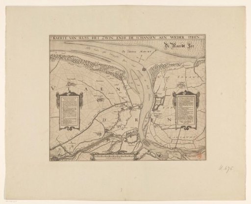
Map of Sluis, the Zwin and the forts on both sides, 1627
From the collection of Rijksmuseum, Amsterdam. Free to download, adapt and use — no permission needed.
About this work
Map of the town of Sluis with the Zwin, the surrounding land between Cadzand, Damme and Ramskapelle; with the forts on the Spanish and States' side, 1627. Left and right cartouches with legends 1-6 and 1-13 in Dutch. Below, left of center, a scale: Scale of Thousand Rods.
Rijksmuseum, Amsterdam’s own descriptionCredit lineKaart van Sluis, het Zwin en de schansen aan beide zijden, 1627. 1627. Rijksmuseum, Amsterdam. Public domain.
Similar works
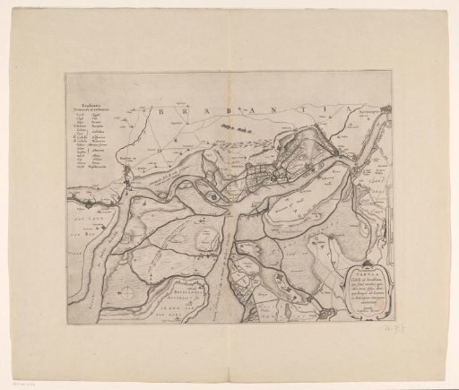 Forts on the Eastern and Western Scheldt, 1627
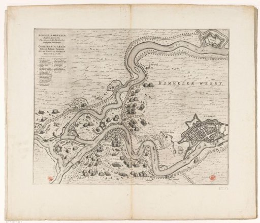 Siege of Zaltbommel, 1599
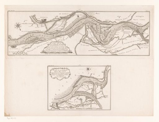 Two Maps of the Course of the Rhine in the Netherlands
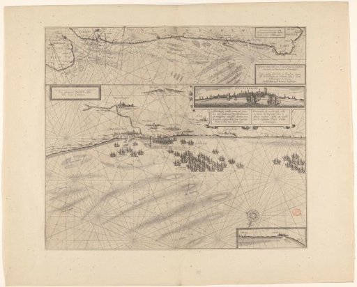 Sea chart of the coast of Flanders, from Walcheren to Calais
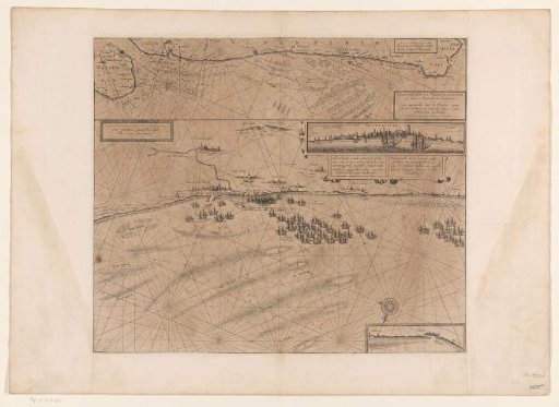 Map of the coast at Dunkirk and of the Flemish coast from Walcheren to Boulogne, 1631
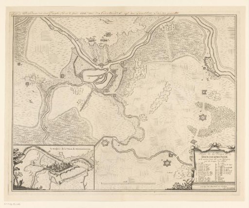 Map of the Siege of Dendermonde, 1706