Public domain
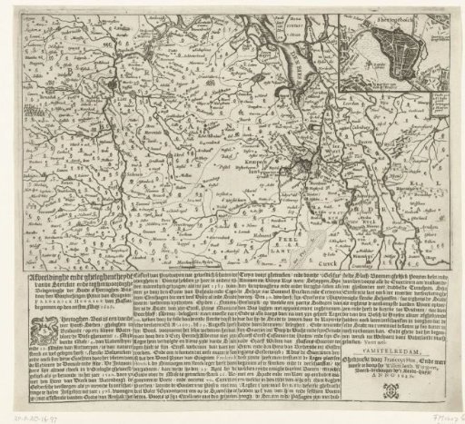
Map of North Brabant with the siege of 's-Hertogenbosch, 1629
From the collection of Rijksmuseum, Amsterdam. Free to download, adapt and use — no permission needed.
About this work
Map of a large part of North Brabant from Antwerp to Nijmegen with the siege of 's-Hertogenbosch by the States' army under Frederick Henry, from 1 May to 17 September 1629. In the upper right, an inset with a plan of the city. Printed below the plate: four columns of text in Dutch.
Rijksmuseum, Amsterdam’s own descriptionCredit lineKaart van Noord-Brabant met het beleg van Den Bosch, 1629. 1629. anonymous. Rijksmuseum, Amsterdam. Public domain.
Similar works
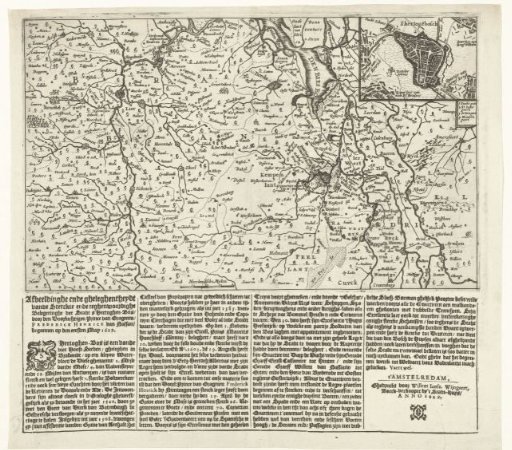 Map of North Brabant with the siege of 's-Hertogenbosch, 1629
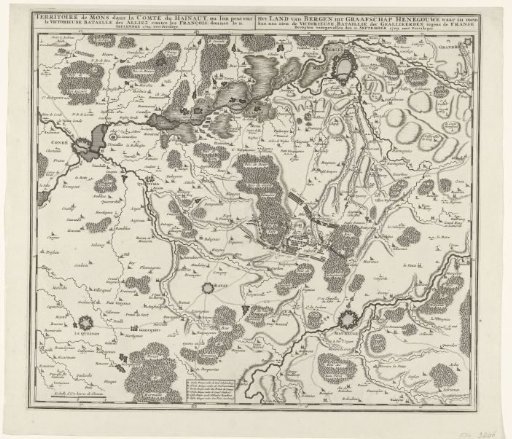 Map of the Battle of Malplaquet, 1709
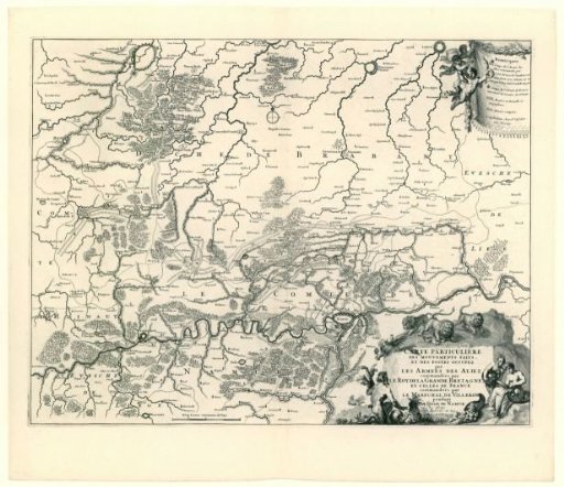 Map showing the positions of the allies and the French during the siege of Namur, 1695
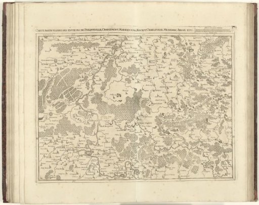 Map of Northern France, 1712
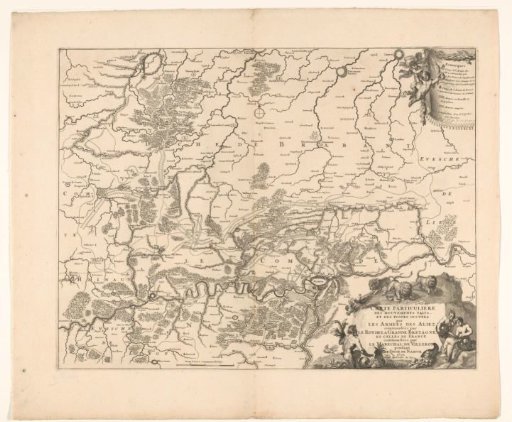 Map showing the positions of the Allies and the French during the siege of Namur, 1695
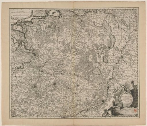 Map of the Duchy of Brabant