Public domain
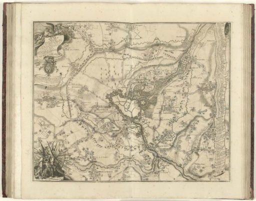
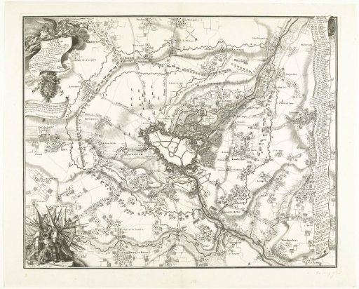
Map of the Siege of Lille, 1708
From the collection of Rijksmuseum, Amsterdam. Free to download, adapt and use — no permission needed.
About this work
Map of Lille (Rijssel) with the castle, besieged since 22 August 1708 by the Allies under Prince Eugene of Savoy. On the right a scroll with the legend 1-80 and A-R in French.
Rijksmuseum, Amsterdam’s own descriptionCredit lineKaart van het beleg van Lille, 1708. 1709. Jacobus Harrewijn. Rijksmuseum, Amsterdam. Public domain.