Public domain
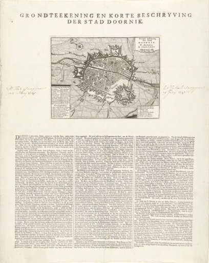
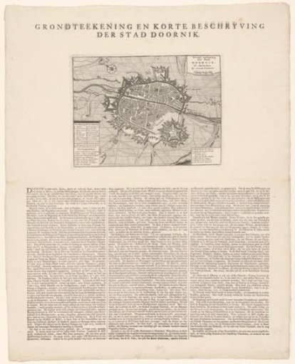
Map of Tournai with description of the city
From the collection of Rijksmuseum, Amsterdam. Free to download, adapt and use — no permission needed.
About this work
Plan of the city of Tournai, taken by the French on May 24, 1745. The print contains legends A-Z and 1-15. With an extensive description of the city in three columns on the sheet below the print in Dutch.
Rijksmuseum, Amsterdam’s own descriptionCredit linePlattegrond van Doornik met beschrijving van de stad. 1734 - 1744. anonymous. Rijksmuseum, Amsterdam. Public domain.