Public domain
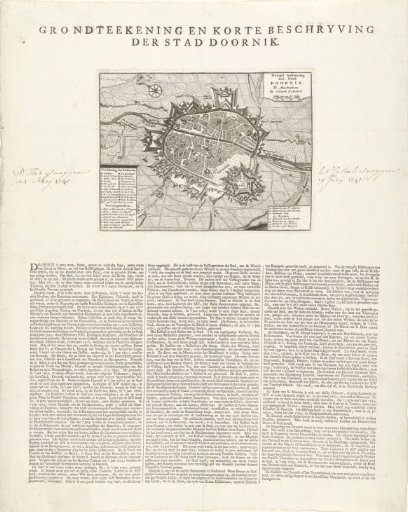
Map of Tournai with Description of the City
From the collection of Rijksmuseum, Amsterdam. Free to download, adapt and use — no permission needed.
About this work
Map of the city of Tournai (Doornik), captured by the French on 24 May 1745. Legends A-Z and 1-15 in the plate. An extensive description of the city in three columns below the plate on the sheet in Dutch.
Rijksmuseum, Amsterdam’s own descriptionCredit linePlattegrond van Doornik met beschrijving van de stad. 1734 - 1744. anonymous. Rijksmuseum, Amsterdam. Public domain.
Similar works
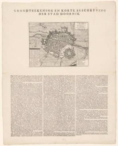 Map of Tournai with description of the city
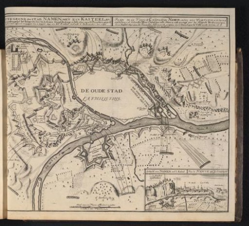 Siege and capture of Namur by the Allies, 1695
 View of the Roosenberg Abbey in Waasmunster and a plan of the village of Sint-Niklaas
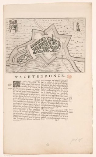 Map and description of Wachtendonk
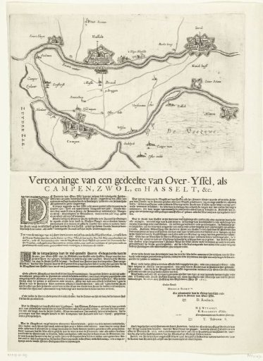 Map of the region between Kampen, Zwolle and Hasselt, 1657
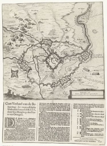 Map of the siege of Breda, 1637