Public domain
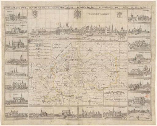
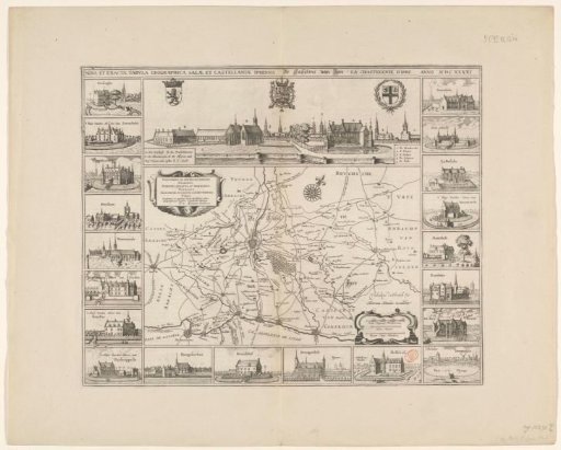
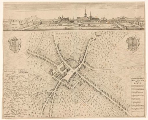
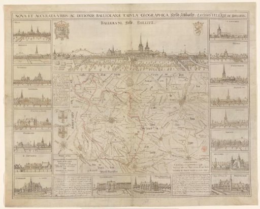
Map of Belle-Ambacht and a view of Belle
From the collection of Rijksmuseum, Amsterdam. Free to download, adapt and use — no permission needed.
About this work
Map of Belle-Ambacht. In the upper left a frame with legend A-N. Below it the coats of arms of Belle and Belle-Ambacht. In the lower right a scale: Dese linie AB is een Mijle, maeckende 1400 Roeden. Above the map a view of Belle, with the coat of arms of the King of Spain in the upper left and the coat of arms of Flanders in the upper right. In a bar above the city view the title. Along the left and right edges and the bottom of the map eighteen views of castles from the surroundings of Ypres.
Rijksmuseum, Amsterdam’s own descriptionCredit lineKaart van Belle-Ambacht en een gezicht op Belle. 1637. Vedastus du Plouich. Rijksmuseum, Amsterdam. Public domain.