Public domain
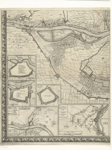
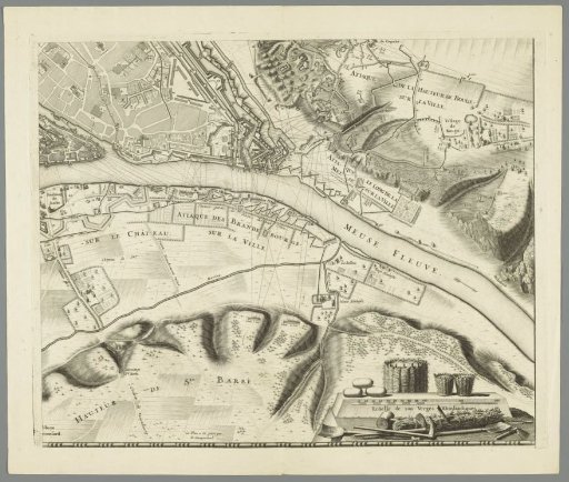
Large map of the siege of Namur (sheet no. 4), 1695
From the collection of Rijksmuseum, Amsterdam. Free to download, adapt and use — no permission needed.
About this work
Large unmounted map of the siege of Namur by the Allies under King William III during the months of July–September 1695. The map is composed of four separate numbered views and two sheets with the legend. This sheet (no. 4) is the bottom-right section. At the bottom, a scale indicator and various mining tools.
Rijksmuseum, Amsterdam’s own descriptionCredit lineGrote kaart van het beleg van Namen (blad nr. 4), 1695. 1695. Gilliam van der Gouwen. Rijksmuseum, Amsterdam. Public domain.