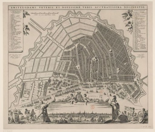
Map of Amsterdam with City View and Design for the Fourth Extension
From the collection of Rijksmuseum, Amsterdam. Free to download, adapt and use — no permission needed.
Map of Amsterdam with the design by Daniel Stalpaert for the Fourth Extension (expansion) of the city, in bird's-eye perspective. Title along the top edge. Top left: the legend 1-48. To the right of that a scale bar: Scale of 3000 Amsterdam feet. Top right: the legend 49-106. Bottom left: putti with the city coat of arms and children with riches from different parts of the world. Bottom center: a view of the city flanked by Juno (left) and Minerva (right). Above this view two children with the coat of arms of Holland. Bottom right: children with the city seal and objects referring to seafaring. Orientation: south-southwest at the top.
Rijksmuseum, Amsterdam’s own descriptionSimilar works
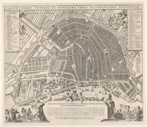 Plan of Amsterdam with arguments for the construction of a new church
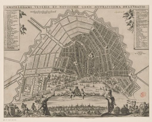 Map of Amsterdam with Design for the Fourth Extension
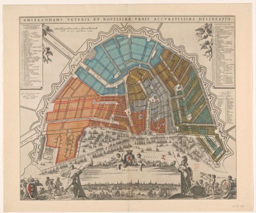 Map of Amsterdam with Division into Civil Districts
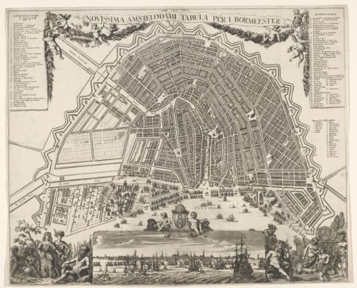 Plan of Amsterdam with a city view
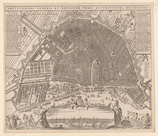 Plan of Amsterdam with city view
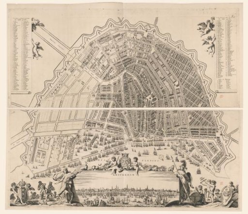 Map of Amsterdam with a city view, consisting of two parts