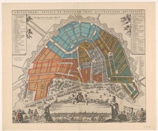
Map of Amsterdam with Division into Civil Districts
From the collection of Rijksmuseum, Amsterdam. Free to download, adapt and use — no permission needed.
Map of Amsterdam with the Fourth Extension (expansion) of the city according to the design by Daniel Stalpaert, in bird's-eye perspective. On the map the division into 50 civic guard districts (numbered) is applied. Title along the top edge. Top left: the legend 1-48. To the right of that a scale bar: Scale of 3000 Amsterdam feet. Top right: the legend 49-106. Below that the legend of the bastions 1-26. Bottom left: putti with the city coat of arms and children with riches from different parts of the world. Bottom center: a view of the city flanked by Juno (left) and Minerva (right). Above this view two children with the coat of arms of Holland. Bottom right: children with the city seal and objects referring to seafaring. Orientation: south-southwest at the top.
Rijksmuseum, Amsterdam’s own descriptionSimilar works
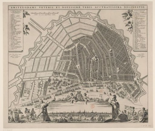 Map of Amsterdam with City View and Design for the Fourth Extension
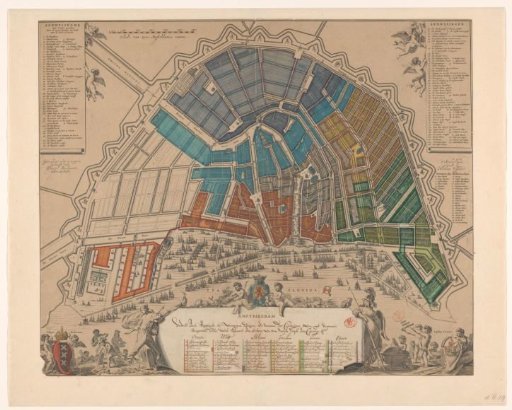 Map of Amsterdam with Division into Regiments and Civil Districts
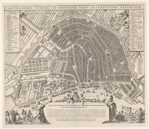 Plan of Amsterdam with arguments for the construction of a new church
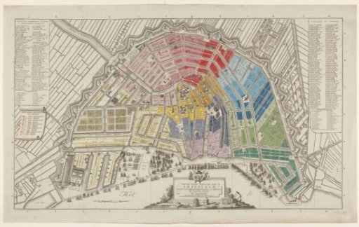 Map of Amsterdam with division into half-brigades and battalions of the National Guard
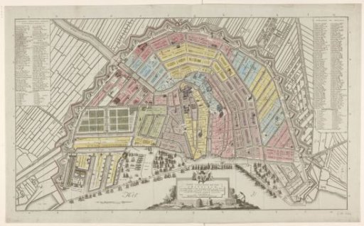 Map of Amsterdam with division into fourteen districts
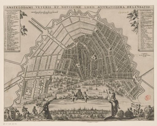 Map of Amsterdam with Design for the Fourth Extension