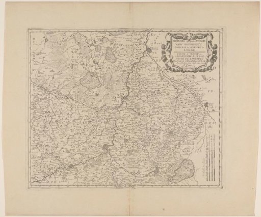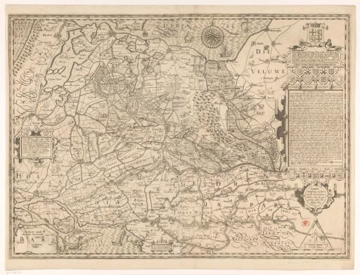
Map of the province of Utrecht
From the collection of Rijksmuseum, Amsterdam. Free to download, adapt and use — no permission needed.
Center left: a cartouche with the dedication. Top right: the title cartouche with the coat of arms of the province of Utrecht. Below it, the coats of arms of the duchies of Brabant, Gelderland and Cleves. Below that, the coats of arms of the counties of Holland, Bentheim and Cuijk, and another coat of arms with a trumpet. Below that, an extensive historical and geographical description of the province of Utrecht with a legend. Below that, the coats of arms of the cities of Utrecht, Amersfoort, Rhenen, Wijk bij Duurstede and Montfoort. Bottom right: a scale bar: Trajectina milliaria / Utrechtsche mylen. Degree divisions along the edges.
Rijksmuseum, Amsterdam’s own description