Public domain
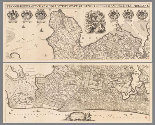
Map of Kennemerland and West-Friesland, consisting of two parts
From the collection of Rijksmuseum, Amsterdam. Free to download, adapt and use — no permission needed.
About this work
Title along the top edge. Top left: the coats of arms of the dike reeve and two high water commissioners. Top right: the coat of arms of the High Water Board of the Outflow Sluices in Kennemerland and West-Friesland, and the coats of arms of two high water commissioners and the steward. Bottom center: a scale bar reading "Sixteen hundred Rhineland rods making about one hour's walk." Orientation: north to the left.
Rijksmuseum, Amsterdam’s own descriptionCredit lineKaart van Kennemerland en West-Friesland, bestaande uit twee delen. 1680. Coenraet Decker. Rijksmuseum, Amsterdam. Public domain.
Similar works
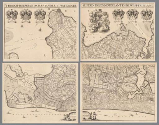 Map of Kennemerland and West-Friesland, consisting of four parts
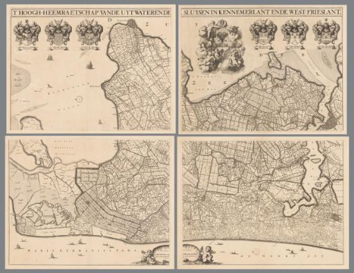 Map of Kennemerland and West-Friesland, consisting of four parts
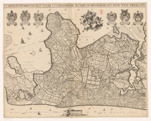 Map of Kennemerland and West-Friesland
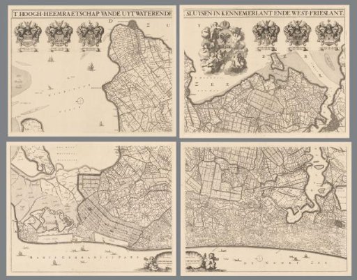 Map of Kennemerland and West-Friesland, consisting of four parts
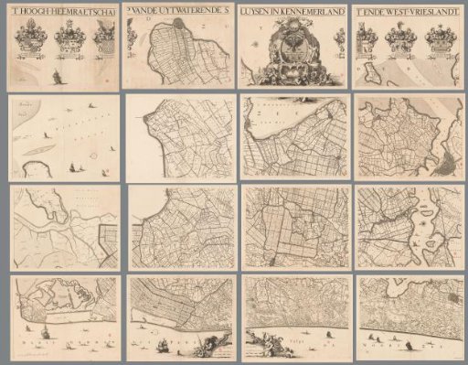 Map of Kennemerland and West-Friesland, consisting of sixteen parts
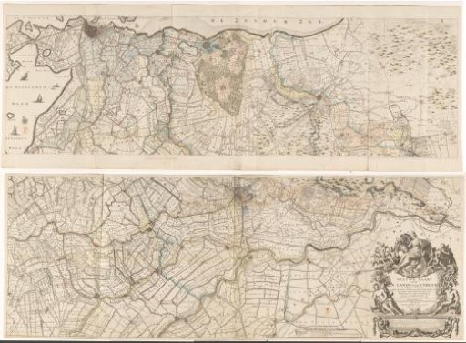 Map of the province of Utrecht, consisting of two parts